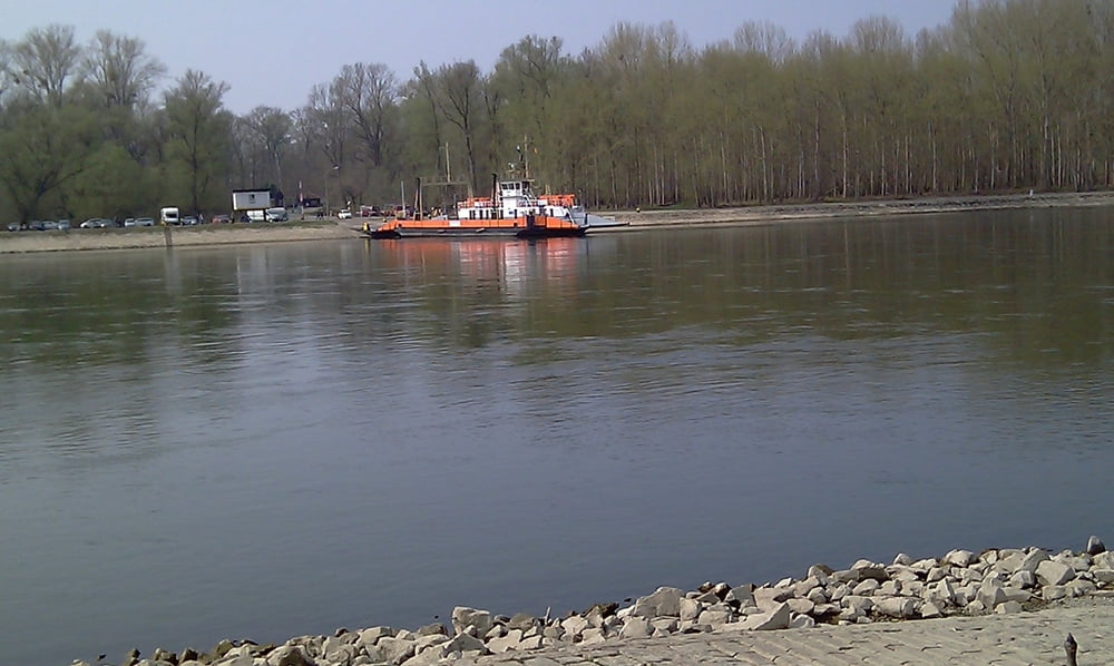
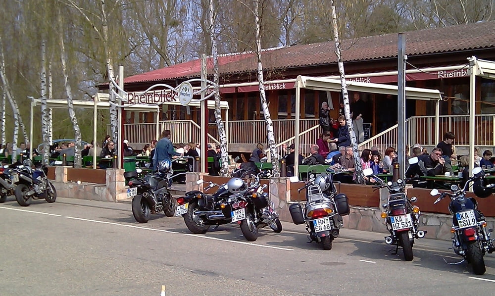
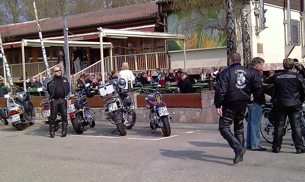
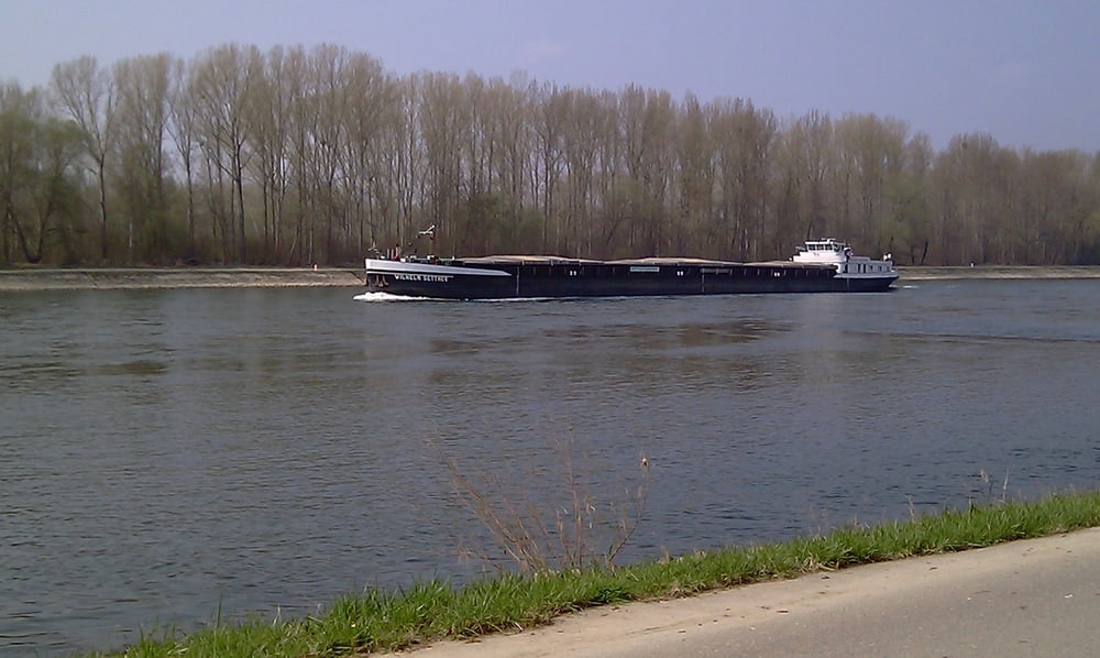
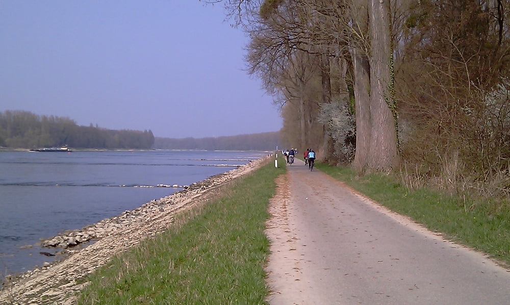
Kleine Sonntagsrunde die nicht anstrengend ist. Mit dem Rad durch den Hardtwald bis zum Forschungszentrum Karlsruhe (heute KIT Campus Nord). Dann Richtung Leopoldshafen und zum Rhein. Der Anleger der Fähre Leimersheim ist ein beliebter Treffpunkt am Wochenende (siehe Bilder). Dann den Rhein entlang in Richtung Norden. Über Linkenheim (vorbei und Halt an der Eisdiele) wieder nach Hause.
Galeria trasy
Mapa trasy i profil wysokości
Minimum height 84 m
Maximum height 107 m
Komentarze

GPS tracks
Trackpoints-
GPX / Garmin Map Source (gpx) download
-
TCX / Garmin Training Center® (tcx) download
-
CRS / Garmin Training Center® (crs) download
-
Google Earth (kml) download
-
G7ToWin (g7t) download
-
TTQV (trk) download
-
Overlay (ovl) download
-
Fugawi (txt) download
-
Kompass (DAV) Track (tk) download
-
Karta trasy (pdf) download
-
Original file of the author (tcx) download
Add to my favorites
Remove from my favorites
Edit tags
Open track
My score
Rate

