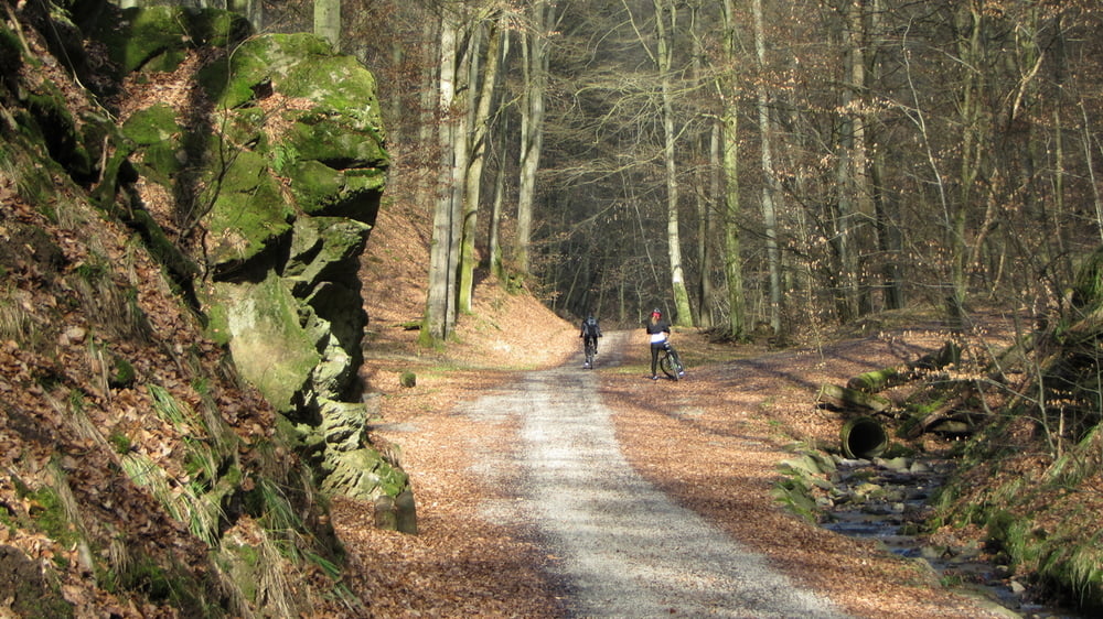
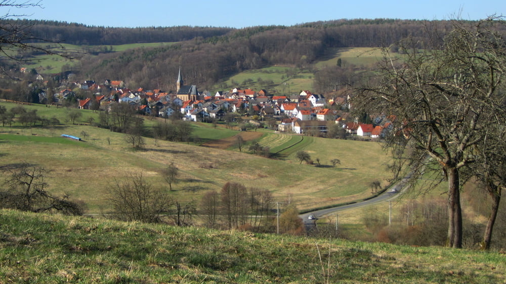
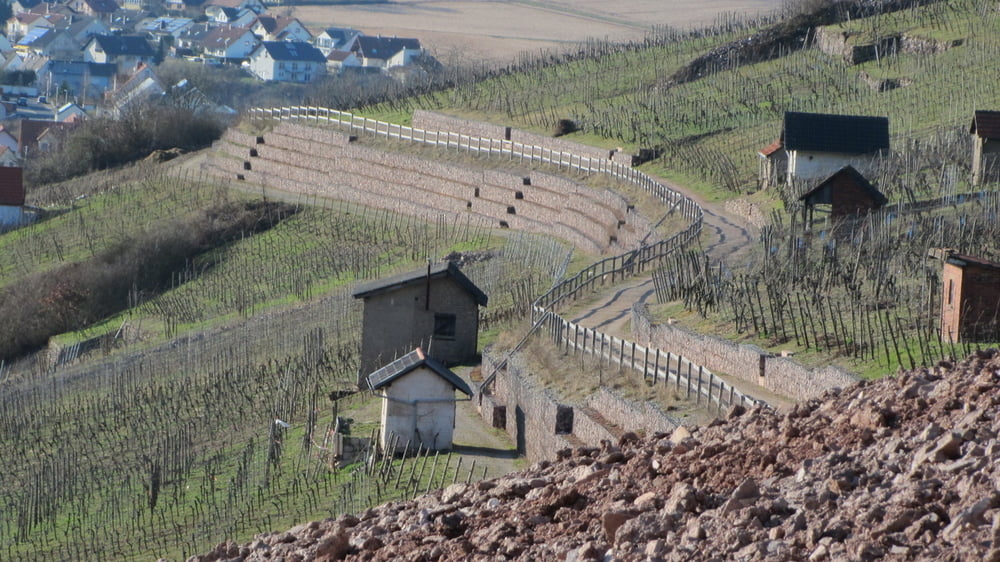
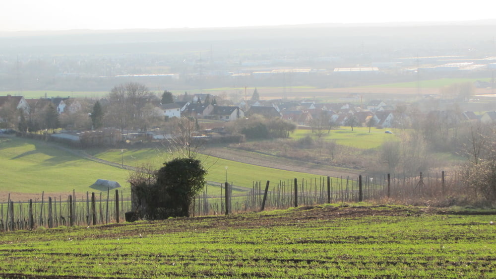
Login

Zapomniałeś swój login?

Cookies have to be accepted!
Your browser's cookie functionality is disabled. Please enable this functionality.

Not a member yet?

Register now
Login

Available for registred users only

Log in to use this feature.

Zapomniałeś swój login?

Cookies have to be accepted!
Your browser's cookie functionality is disabled. Please enable this functionality.

Not a member yet?

Register now
Filter
Kategorie
Advanced filters
  • Długość (km)
  • Wysokość
Zapisz filtr Reset filter

TrackRank

QRCode

Technical data

Długość46,1 km Wysokość1444 m Way down1440 m Czas trwania03:30 h:m Data03.04.2011
Oceny Author User Krajobraz Czynnik zadowolenia Kondycja Technika

Statystyka

3099 Widoki 1 Ocena 196 Downloads / Pliki do pobrania 5.00 Przeciętnie
Rate
  • Karta trasy
  • Dojazd
  • Downloads / Pliki do pobrania

Galeria trasy

Mapa trasy i profil wysokości

  • Open Street Map
  • Google
Minimum height 1 m Maximum height 442 m Widok szczegółowy

More about the tour author

Bikerharry
Member since 2008

Send private message

Komentarze

MTBerglauf on 30.05.2012

Danke für die Tour

Hallo, bin die Tour von Dietzenbach aus andersrum gefahren. Hatte dann 110km und 1800hm auf der Uhr. Sehr schön - Vielen Dank dafür! Beste Grüße, Thomas
emmilymarleen on 18.06.2013

Hab die Tour durchgeführt

Danke für fuer die Tour. Sehr schön, aber auch anstrengend.
Habe lange für die 45 km gebraucht und werde morgen Muskelkater haben.

GPS tracks

Trackpoints
  • GPX / Garmin Map Source (gpx) download
  • TCX / Garmin Training Center® (tcx) download
  • CRS / Garmin Training Center® (crs) download
  • Google Earth (kml) download
  • G7ToWin (g7t) download
  • TTQV (trk) download
  • Overlay (ovl) download
  • Fugawi (txt) download
  • Kompass (DAV) Track (tk) download
  • Karta trasy (pdf) download
  • Original file of the author (gpx) download

More about the tour author

Bikerharry
Member since 2008

Send private message
Share track
Add to my favorites
Remove from my favorites
Edit tags
My score
Rate
Trasa: Durch Rückersbacher Schlucht zum Hahnenkamm
Rodzaj: Rower górski (MTB)
Długość: 46,1 km
Evaluated on:
Czas trwania:
Day(s)
Hour(s)
Minute(s)
Ocena: Krajobraz Czynnik zadowolenia Kondycja Technika