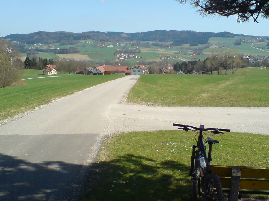
Die Tour enthälte mehrere kurze, aber knackige Anstiege. 30 Prozent sind Forstwege, der Rest wird auf Asphalt absolviert. von Ottnang fährt man über die Rast nach Zell am Pettenfirst. Von da den Radweg Richtung Ampflwang und auf Nebenstrassen über den Riegl hinunter nach Frankenburg. Nun beginnt der Anstieg Richtung Hobelsberg. Ich bin nicht ganz auf den Riesn gefahren, da ich beim Marterl die Abzweigung nach rechts Richtung Ottokönigen genommen habe. Von da an wieder die selbe Strecke retour.
Mapa trasy i profil wysokości
Minimum height 488 m
Maximum height 707 m
Komentarze

Einstiegsmöglichkeiten sind in Zell, Ampflwang oder Frankenburg.
GPS tracks
Trackpoints-
GPX / Garmin Map Source (gpx) download
-
TCX / Garmin Training Center® (tcx) download
-
CRS / Garmin Training Center® (crs) download
-
Google Earth (kml) download
-
G7ToWin (g7t) download
-
TTQV (trk) download
-
Overlay (ovl) download
-
Fugawi (txt) download
-
Kompass (DAV) Track (tk) download
-
Karta trasy (pdf) download
-
Original file of the author (gpx) download
Add to my favorites
Remove from my favorites
Edit tags
Open track
My score
Rate

