Login

Zapomniałeś swój login?

Cookies have to be accepted!
Your browser's cookie functionality is disabled. Please enable this functionality.

Not a member yet?

Register now
Login

Available for registred users only

Log in to use this feature.

Zapomniałeś swój login?

Cookies have to be accepted!
Your browser's cookie functionality is disabled. Please enable this functionality.

Not a member yet?

Register now
Filter
Kategorie
Advanced filters
  • Długość (km)
  • Wysokość
Zapisz filtr Reset filter

TrackRank

QRCode

Technical data

Długość84,0 km Wysokość601 m Way down600 m Czas trwania00:00 h:m Data03.04.2011
Oceny Author User Krajobraz Czynnik zadowolenia Kondycja Technika

Statystyka

653 Widoki 1 Ocena 177 Downloads / Pliki do pobrania 4.00 Przeciętnie
Rate
  • Karta trasy
  • Dojazd
  • Downloads / Pliki do pobrania
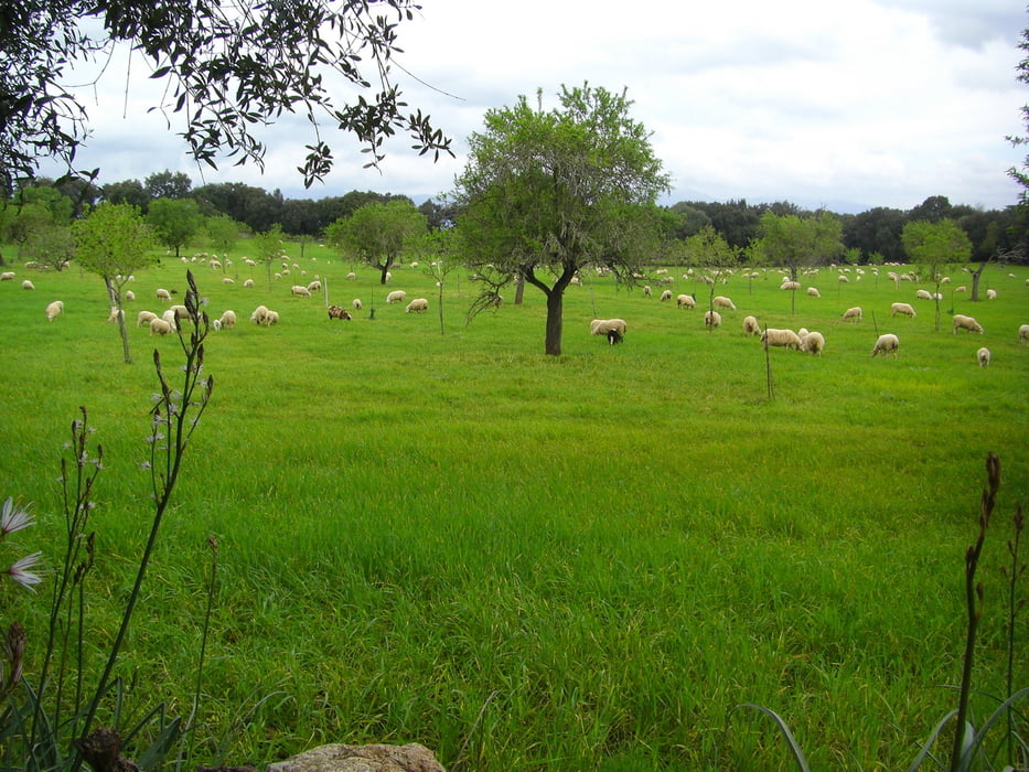
Von Can Picafort über Muro - Sineu - Sant Joan - Petra - Manacor -  zurück über die MA 3322 nach Can Picafort.

Mapa trasy i profil wysokości

  • Open Street Map
  • Google
Minimum height 1 m Maximum height 158 m Widok szczegółowy

More about the tour author

ultra
Member since 2010

Send private message

Komentarze

Von Can Picafort Richtung Alcudia. Im Kreisverkehr Richtung Muro und nun dem Streckenverlauf folgen.

GPS tracks

Trackpoints
  • GPX / Garmin Map Source (gpx) download
  • TCX / Garmin Training Center® (tcx) download
  • CRS / Garmin Training Center® (crs) download
  • Google Earth (kml) download
  • G7ToWin (g7t) download
  • TTQV (trk) download
  • Overlay (ovl) download
  • Fugawi (txt) download
  • Kompass (DAV) Track (tk) download
  • Karta trasy (pdf) download
  • Original file of the author (gpx) download

More about the tour author

ultra
Member since 2010

Send private message
Share track
Add to my favorites
Remove from my favorites
Edit tags
My score
Rate
Trasa: Von Can Picafort in die Mitte Mallorcas
Rodzaj: Rower szosowy
Długość: 84,0 km
Evaluated on:
Czas trwania:
Day(s)
Hour(s)
Minute(s)
Ocena: Krajobraz Czynnik zadowolenia Kondycja Technika