Login

Zapomniałeś swój login?

Cookies have to be accepted!
Your browser's cookie functionality is disabled. Please enable this functionality.

Not a member yet?

Register now
Login

Available for registred users only

Log in to use this feature.

Zapomniałeś swój login?

Cookies have to be accepted!
Your browser's cookie functionality is disabled. Please enable this functionality.

Not a member yet?

Register now
Filter
Kategorie
Advanced filters
  • Długość (km)
  • Wysokość
Zapisz filtr Reset filter

TrackRank

QRCode

Technical data

Długość36,7 km Wysokość1047 m Way down1058 m Czas trwania02:30 h:m Data04.04.2011
Oceny Author Krajobraz Czynnik zadowolenia Kondycja Technika

Statystyka

224 Widoki Oceny 15 Downloads / Pliki do pobrania Przeciętnie
Rate
  • Karta trasy
  • Dojazd
  • Downloads / Pliki do pobrania

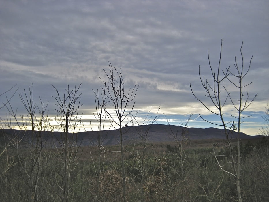
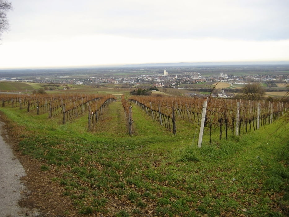
Nette 2-3 Stundentour durch den Wienerwald. Variante zur Siegenfeldrunde:

 Ausgangspunkt Parkplatz Prissnitztal (Mödling) - Anninger über Gumpoldskirchner Steig hinunter nach Gaaden bis Siegenfeld. Retour über das Große Buchtal (geringere Steigung als Gumpoldskirchner Steig) auf Anninger und hinunter zum Parkplatz.

Galeria trasy

Mapa trasy i profil wysokości

  • Open Street Map
  • Google
Minimum height 199 m Maximum height 649 m Widok szczegółowy

More about the tour author

funkyFalco
Member since 2009

Send private message

Komentarze

 Ausgangspunkt Parktplatz Priessnitztal (Mödling)

GPS tracks

Trackpoints
  • GPX / Garmin Map Source (gpx) download
  • TCX / Garmin Training Center® (tcx) download
  • CRS / Garmin Training Center® (crs) download
  • Google Earth (kml) download
  • G7ToWin (g7t) download
  • TTQV (trk) download
  • Overlay (ovl) download
  • Fugawi (txt) download
  • Kompass (DAV) Track (tk) download
  • Karta trasy (pdf) download
  • Original file of the author (gpx) download

More about the tour author

funkyFalco
Member since 2009

Send private message
Share track
Add to my favorites
Remove from my favorites
Edit tags
My score
Rate
Trasa: Siegenfeld Runde Var.2
Rodzaj: Rower górski (MTB)
Długość: 36,7 km
Evaluated on:
Czas trwania:
Day(s)
Hour(s)
Minute(s)
Ocena: Krajobraz Czynnik zadowolenia Kondycja Technika