


Ein netter Wanderweg bei Raben.
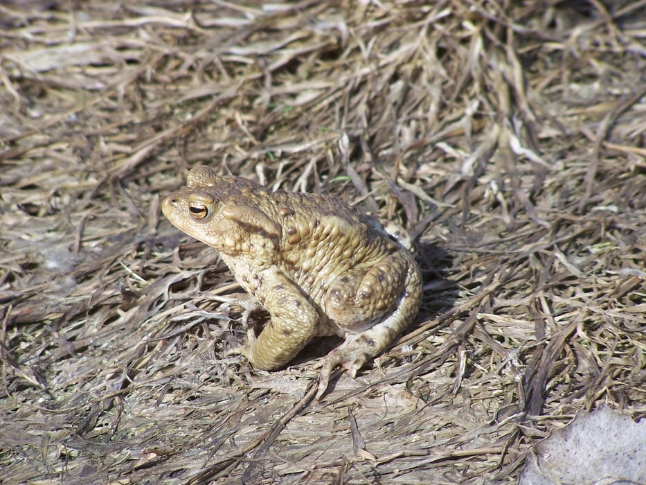
Der Hohe Fläming bietet einiges. Dies ist einer seiner Rundwanderwege. Der Weg folgt einer kleinen feinen Asphaltstraße bis zum Forsthaus im ehemaligen Ort Zehrensdorf. Im Teich dort leben ne Menge Amphibien.
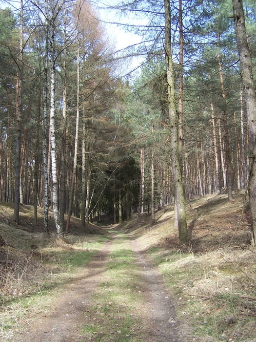
Danach verläuft der Weg auf sandigen Waldwegen durch hohle Gassen bis in das Tal. Nach rechts auf einer alten Pflasterstraße bis zum Europaradweg und Burgenwanderweg. Der Rest bis zurück zum Naturparkzentrum ist ein Klacks.
Nett.
Further information at
http://de.wikipedia.org/wiki/Naturpark_Hoher_Fl%C3%A4mingGaleria trasy
Mapa trasy i profil wysokości
Minimum height 98 m
Maximum height 159 m
More about the tour author
|
|
Pheinz |
Komentarze

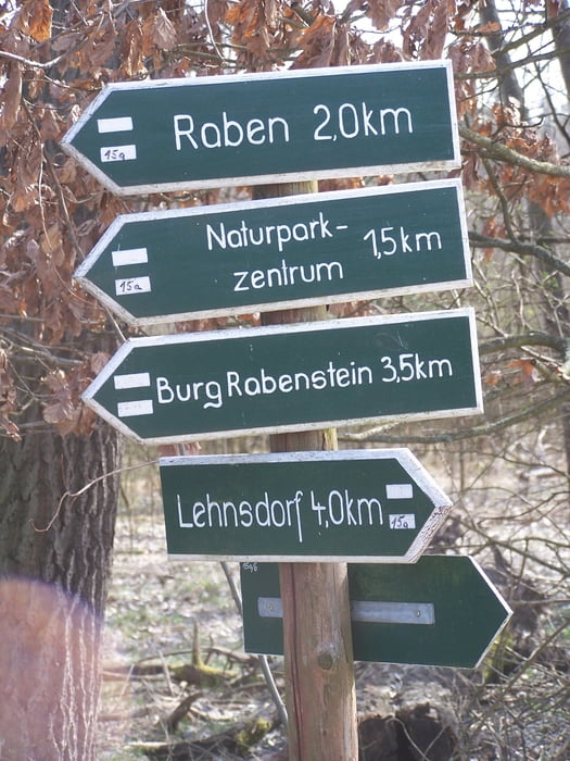
Start auf dem Parkplatz in Raben oder 150m weiter bei dem Naturparkzentrum.
GPS tracks
Trackpoints-
GPX / Garmin Map Source (gpx) download
-
TCX / Garmin Training Center® (tcx) download
-
CRS / Garmin Training Center® (crs) download
-
Google Earth (kml) download
-
G7ToWin (g7t) download
-
TTQV (trk) download
-
Overlay (ovl) download
-
Fugawi (txt) download
-
Kompass (DAV) Track (tk) download
-
Karta trasy (pdf) download
-
Original file of the author (gpx) download
More about the tour author
|
|
Pheinz |
Add to my favorites
Remove from my favorites
Edit tags
Open track
My score
Rate