


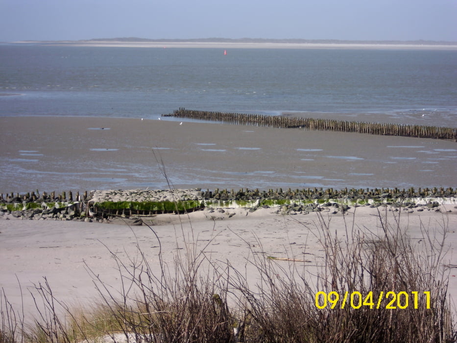
Diese 14 km Tour beginnt am Gütersloher http://www.haus-wolfgang.de/ . Der Weg führt dich Richtung Osten zum Internat Hermann-Lietz-Schule. Nach dem Aufstieg zur Kuhdüne, hast Du schöne Ausblicke über die Insel und über das Wattenmeer.
Über die südlichen Deichanlagen, vorbei am Hafen, gehst Du entlang der historischen Pferdebahn von 1885 in Richtung Westend. Über den 5* Campingplatz erreichst Du den Strand mit Blick auf die Nachbarinsel Langeoog.
Zurück, vorbei an der ersten Rettungsstation, am Dorfrand, Hauptstrand durch das beschauliche Innendorf, mit Besichtigung der Alten Inselkirche von 1696, landest Du im Hafen.
Galeria trasy

Mapa trasy i profil wysokości
Minimum height -9 m
Maximum height 11 m
More about the tour author
|
|
radrolle48 |
Komentarze

GPS tracks
Trackpoints-
GPX / Garmin Map Source (gpx) download
-
TCX / Garmin Training Center® (tcx) download
-
CRS / Garmin Training Center® (crs) download
-
Google Earth (kml) download
-
G7ToWin (g7t) download
-
TTQV (trk) download
-
Overlay (ovl) download
-
Fugawi (txt) download
-
Kompass (DAV) Track (tk) download
-
Karta trasy (pdf) download
-
Original file of the author (gpx) download
More about the tour author
|
|
radrolle48 |
Add to my favorites
Remove from my favorites
Edit tags
Open track
My score
Rate