


Nette Rundtour rund um den Tonion. Fast zur Gänze auf Forststraßen. Hinfahrt entlang der Alpentour auf die Dürriegelalm (netter Ausblick, diesmal ohne Kühe), Bei Schöneben auf eine Forststraße westwerts abzweigen nochmal über 1300 erklimmen (evt. kurzes Schiebestück), runter in den Lieglergraben wieder rauf aufs Wetterl (3. mal auf 1300) über die Schipiste auf den Pass Niederalpl und mit vollem Tempo zum Ort Niederalpl ( entweder Straße oder Forstautobahn)
Feedback erwünscht!!
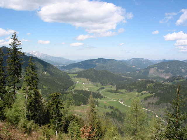
Galeria trasy
Mapa trasy i profil wysokości
Minimum height 832 m
Maximum height 1370 m
More about the tour author
|
|
rob47 |
Komentarze

Von Mürzzuschlag nach Mürzsteg und weiter Richtung Niederalpl; Ca. 3 km vor dem Ort Niederalpl, wo die Alpentour die Straße quert gehts los
GPS tracks
Trackpoints-
GPX / Garmin Map Source (gpx) download
-
TCX / Garmin Training Center® (tcx) download
-
CRS / Garmin Training Center® (crs) download
-
Google Earth (kml) download
-
G7ToWin (g7t) download
-
TTQV (trk) download
-
Overlay (ovl) download
-
Fugawi (txt) download
-
Kompass (DAV) Track (tk) download
-
Karta trasy (pdf) download
-
Original file of the author (gpx) download
More about the tour author
|
|
rob47 |
Add to my favorites
Remove from my favorites
Edit tags
Open track
My score
Rate