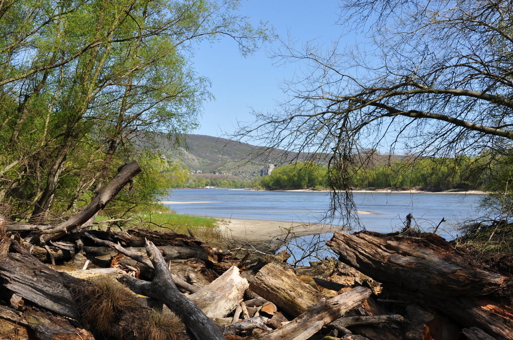
Nach einer eher unspektakulären Wanderung zur Donau erwartet einen dort eine Urlandschaft, mit zahlreichen wildromantischen Pausenplätzen.
Leider konnten wir die geplante Runde nicht erwandern, da sich der Treppelweg, im wahrsten Sinne des Wortes, im Sand verliert.
Alle Fotos siehe LINK
Further information at
https://skydrive.live.com/#cid=DFF63CE9C39979FE&id=DFF63CE9C39979FE%212658Galeria trasy
Mapa trasy i profil wysokości
Minimum height 139 m
Maximum height 152 m
Komentarze
GPS tracks
Trackpoints-
GPX / Garmin Map Source (gpx) download
-
TCX / Garmin Training Center® (tcx) download
-
CRS / Garmin Training Center® (crs) download
-
Google Earth (kml) download
-
G7ToWin (g7t) download
-
TTQV (trk) download
-
Overlay (ovl) download
-
Fugawi (txt) download
-
Kompass (DAV) Track (tk) download
-
Karta trasy (pdf) download
-
Original file of the author (gpx) download
Add to my favorites
Remove from my favorites
Edit tags
Open track
My score
Rate


Kein freigegebener Weg