


Pendlerparkplatz Autobahnausfahrt Grabenstätt-Hütt-Schneereut-Wolferting-Hautzenbichl-Bergen-Hausen-Eßbaum-Hilzing-Alzing-Siegsdorf-Molberting-St.Johann-Heutau-Frauenstätt-Aich-Wimm-Felln-Mauerriedl-Feilenreit-Schwarzenberg-Neukirchen-Achthal-Freidling-Teisendorf-Schödling-Oed-Gumperting-Wimmern-Schleifmühl-Ringham-Petting-(Verfahrer über Lemperholzen-Aing-Spöck-Brandhofen-Petting)-Kühnhausen-Lampoding-Tettenhausen-Waging-Kammering-Unter-Stefling-Klein- und Groß-Scherzhausen-Otting-Freimann-Kammer-Rettenbach-Traunstein-Haslach-Einham-Neuling-Wörglham-Hiensdorf-Marwang-Tüttensee-Grabenstätt-Winkl-Ziel/Start
Bademöglichkeit: Waginger See, Tüttensee-herrlicher Natursee mit Blick auf Hochfelln
Einkehrmöglichkeiten: Teisendorf und genügend in Traunstein (Stadtplatz sehenswert)
Steigung max.: 17%
Gefälle max.:15%
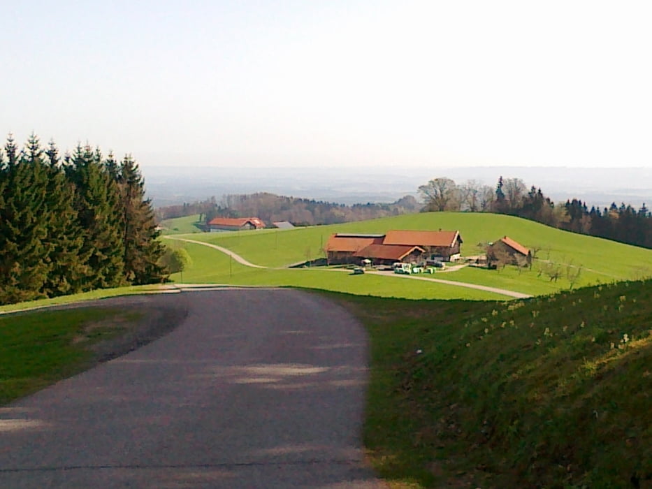
Galeria trasy
Mapa trasy i profil wysokości
Minimum height 438 m
Maximum height 860 m
More about the tour author
|
|
CF2008 |
Komentarze

GPS tracks
Trackpoints-
GPX / Garmin Map Source (gpx) download
-
TCX / Garmin Training Center® (tcx) download
-
CRS / Garmin Training Center® (crs) download
-
Google Earth (kml) download
-
G7ToWin (g7t) download
-
TTQV (trk) download
-
Overlay (ovl) download
-
Fugawi (txt) download
-
Kompass (DAV) Track (tk) download
-
Karta trasy (pdf) download
-
Original file of the author (gpx) download
More about the tour author
|
|
CF2008 |
Add to my favorites
Remove from my favorites
Edit tags
Open track
My score
Rate