Login

Zapomniałeś swój login?

Cookies have to be accepted!
Your browser's cookie functionality is disabled. Please enable this functionality.

Not a member yet?

Register now
Login

Available for registred users only

Log in to use this feature.

Zapomniałeś swój login?

Cookies have to be accepted!
Your browser's cookie functionality is disabled. Please enable this functionality.

Not a member yet?

Register now
Filter
Kategorie
Advanced filters
  • Długość (km)
  • Wysokość
Zapisz filtr Reset filter

TrackRank

QRCode

Technical data

Długość19,5 km Wysokość566 m Way down583 m Czas trwania05:00 h:m Data13.04.2011
Oceny Author Krajobraz Czynnik zadowolenia Kondycja Technika

Statystyka

8390 Widoki Oceny 75 Downloads / Pliki do pobrania Przeciętnie
Rate
  • Karta trasy
  • Dojazd
  • Downloads / Pliki do pobrania
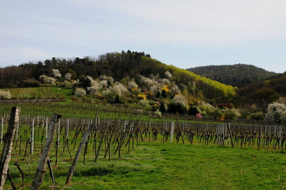
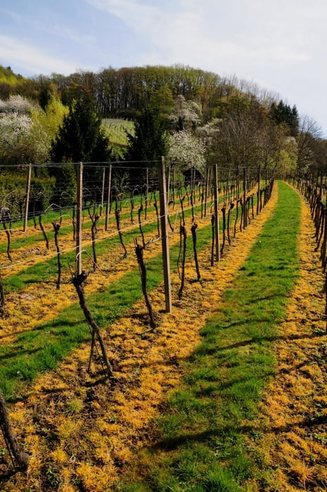
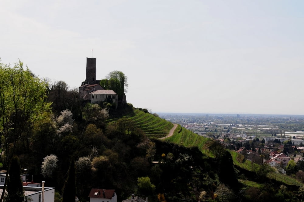
Der Blütenweg ist Ende März  / Anfang April ein Traum. Die Obstblüte und der Ausblick auf die  Rheinebene bieten tolle Fotomotive. Am besten etwas Zeit zum Genießen einplanen. Der Weg zum Weißen-Stein ist schwieriger und der Abstieg nach Dossenheim verlangt etwas Trittsicherheit. Die Tour war ein Augenschmaus! Gute Einkehrmöglichkeit bei "Höhengaststätte Weißer-Stein".

Further information at

http://www.zum-weissen-stein.eu/

Galeria trasy

Mapa trasy i profil wysokości

  • Open Street Map
  • Google
Minimum height 120 m Maximum height 542 m Widok szczegółowy

More about the tour author

ricger
Member since 2011

Send private message

Komentarze

Laufen ab Weinheim und zurück von Dossenheim nach Weinheim mit der OEG (Strassenbahn)

GPS tracks

Trackpoints
  • GPX / Garmin Map Source (gpx) download
  • TCX / Garmin Training Center® (tcx) download
  • CRS / Garmin Training Center® (crs) download
  • Google Earth (kml) download
  • G7ToWin (g7t) download
  • TTQV (trk) download
  • Overlay (ovl) download
  • Fugawi (txt) download
  • Kompass (DAV) Track (tk) download
  • Karta trasy (pdf) download
  • Original file of the author (gpx) download

More about the tour author

ricger
Member since 2011

Send private message
Share track
Add to my favorites
Remove from my favorites
Edit tags
My score
Rate
Trasa: Blütenweg - Weinheim - Schriesheim - Strahlenburg - Weißer Stein - Dossenheim
Rodzaj: Wędrówki
Długość: 19,5 km
Evaluated on:
Czas trwania:
Day(s)
Hour(s)
Minute(s)
Ocena: Krajobraz Czynnik zadowolenia Kondycja Technika