Login

Zapomniałeś swój login?

Cookies have to be accepted!
Your browser's cookie functionality is disabled. Please enable this functionality.

Not a member yet?

Register now
Login

Available for registred users only

Log in to use this feature.

Zapomniałeś swój login?

Cookies have to be accepted!
Your browser's cookie functionality is disabled. Please enable this functionality.

Not a member yet?

Register now
Filter
Kategorie
Advanced filters
  • Długość (km)
  • Wysokość
Zapisz filtr Reset filter

TrackRank

QRCode

Technical data

Długość43,1 km Wysokość912 m Way down896 m Czas trwania02:06 h:m Data16.04.2011
Oceny Author Krajobraz Czynnik zadowolenia Kondycja Technika

Statystyka

431 Widoki 1 Ocena 85 Downloads / Pliki do pobrania 5.00 Przeciętnie
Rate
  • Karta trasy
  • Dojazd
  • Downloads / Pliki do pobrania


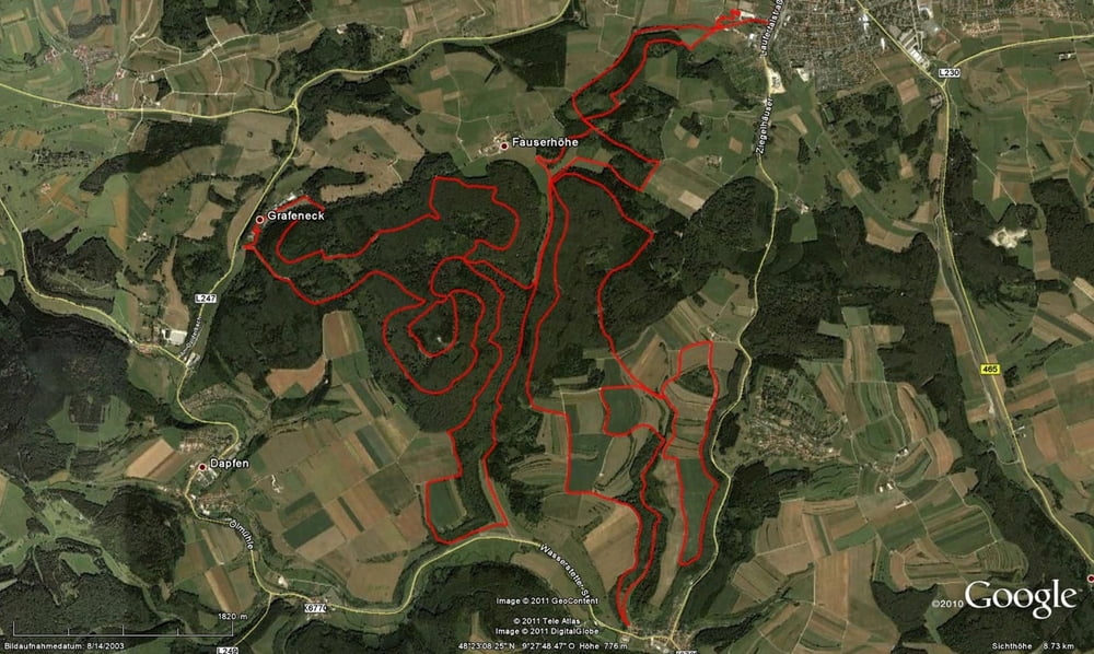
44 km (3 km Asphalt / 40 km Wald- und Schotterwege u. 2 km auf der BL-Strecke im MTB-PARK) ca. 850 Hm (mein Garmin hat 912 Hm gemessen)

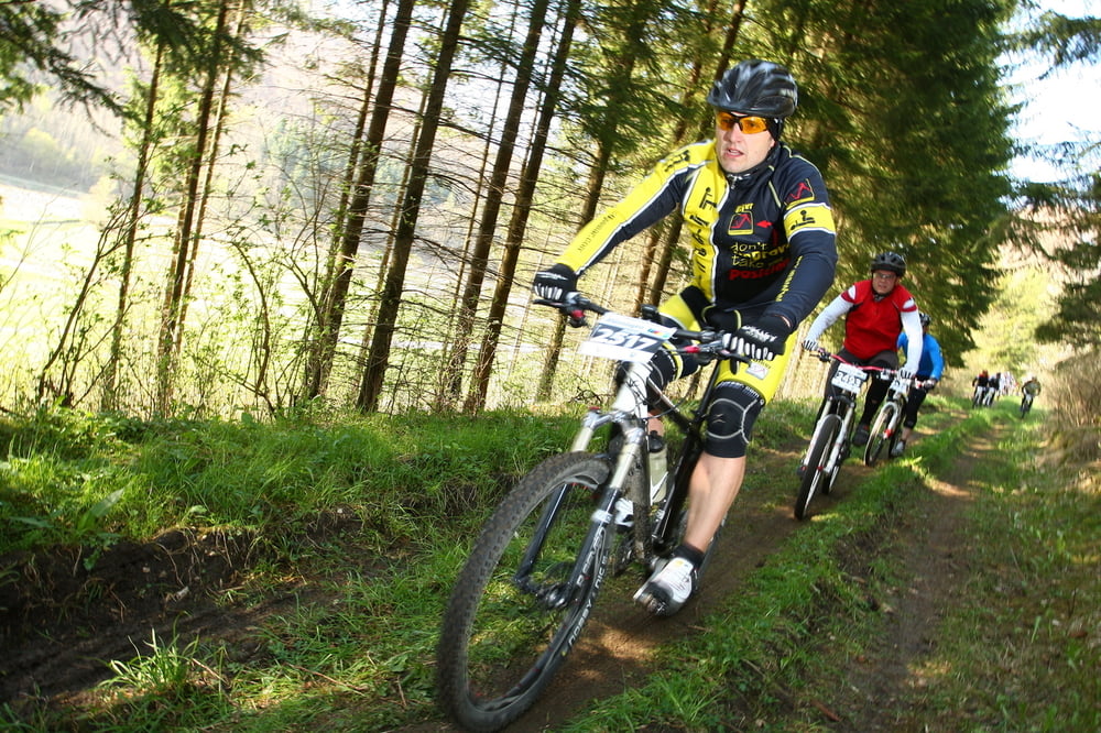
Reine Marathonstrecke ohne Singletrails (ein kleiner Trail kurz bevor man in den MTB-Park einfährt), keine kurze steile Anstiege, viele lange Steigungen die man bedacht angehen sollte

Further information at

http://www.mtb-cup.de/

Galeria trasy

Mapa trasy i profil wysokości

  • Open Street Map
  • Google
Minimum height 637 m Maximum height 843 m Widok szczegółowy

More about the tour author

ossinator
Member since 2009

Send private message

Komentarze

Über die B312 und B28 nach Münsingen

GPS tracks

Trackpoints
  • GPX / Garmin Map Source (gpx) download
  • TCX / Garmin Training Center® (tcx) download
  • CRS / Garmin Training Center® (crs) download
  • Google Earth (kml) download
  • G7ToWin (g7t) download
  • TTQV (trk) download
  • Overlay (ovl) download
  • Fugawi (txt) download
  • Kompass (DAV) Track (tk) download
  • Karta trasy (pdf) download
  • Original file of the author (gpx) download

More about the tour author

ossinator
Member since 2009

Send private message
Share track
Add to my favorites
Remove from my favorites
Edit tags
My score
Rate
Trasa: URALAN-Bikemarathon
Rodzaj: Rower górski (MTB)
Długość: 43,1 km
Evaluated on:
Czas trwania:
Day(s)
Hour(s)
Minute(s)
Ocena: Krajobraz Czynnik zadowolenia Kondycja Technika