

„Ramsbach, kleine Bärenbach Runde“
(20110420.gpx)
Ich möchte heute die oben genante Tour/Runde vorstellen.
Bei einer Runde ist der Start- u. Zielpunkt identisch. Bei einer Tour geht es von A nach B…
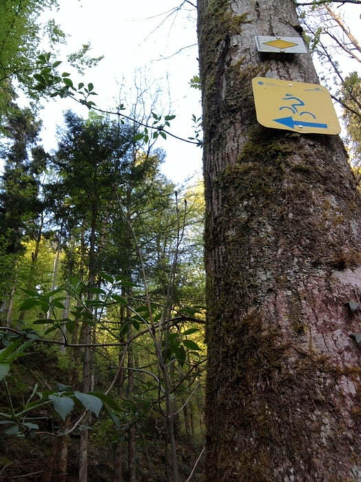
Die Wegbeschaffenheit ist meist Natur-, Rad- und Wanderweg und teilweise auch Straße. Meine Wege kann man Wanden, Laufen oder auch Nordic Walken.
So, nun aber zu den Strecken- u. Pulsinformationen:
Startpunkt: Ramsbach-Höfle, Informationstafel des Wandervereines
Zielpunkt: Ramsbach-Höfle, Informationstafel des Wandervereines
Zur Streckenlänge, Maximal Höhe sowie Höhenmeter usw. mache ich hier nun keine angaben, dies sieht man ja im Profil.
Pulsinformationen der Tour/Runde
Zeit: 01 h 41 Min / 00 h 38 Min in Zone / 106 AVG.HR / 130 Max.HR / 690 Kcal = 11,5 Point´s
Streckenbeschreibung:
> Start: Info. Tafel Ramsbach
> Mattenbauer
> Hunde Pension
> Bahnhof Ramsbach-Birkhof
> Mattenkimmig
> Mattenbauer
> Zielpunkt: Info. Tafel Ramsbach
Mapa trasy i profil wysokości
Minimum height 100 m
Maximum height 467 m
More about the tour author
|
|
Bergiii |
Komentarze

-keine-
GPS tracks
Trackpoints-
GPX / Garmin Map Source (gpx) download
-
TCX / Garmin Training Center® (tcx) download
-
CRS / Garmin Training Center® (crs) download
-
Google Earth (kml) download
-
G7ToWin (g7t) download
-
TTQV (trk) download
-
Overlay (ovl) download
-
Fugawi (txt) download
-
Kompass (DAV) Track (tk) download
-
Karta trasy (pdf) download
-
Original file of the author (gpx) download
More about the tour author
|
|
Bergiii |
Add to my favorites
Remove from my favorites
Edit tags
Open track
My score
Rate