


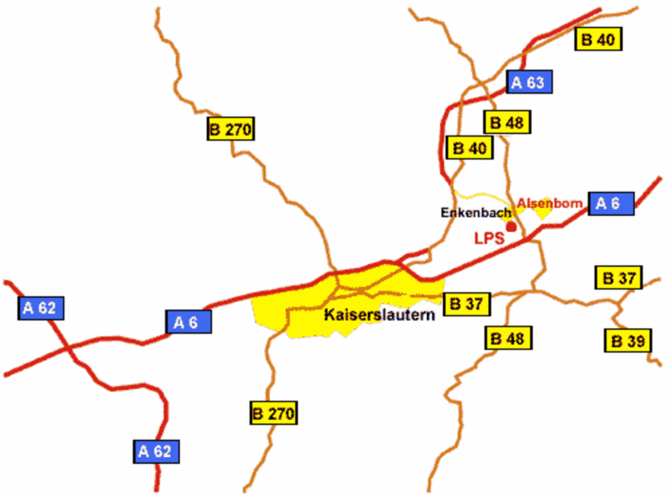
Los geht es in Mannheim Waldhof. Von dort Richtung Ludwigshafen und dann nach Frankenthal. Es gibt immer die Möglichkeit den Radweg zu benutzen für den der nicht auf der Straße fahren möchte. Auf schönen Straßen durch etliche Spagelfelder geht es Richtung Bad Dürkheim. Von dort aus durch den Pfälzer Wald bis noch Enkenbach - Alsenborn. Weiter geht es immer wieder leicht rauf und runter über schöne Straßen nach Kirchheim Bolanden. Dann nach Worms und über den Rhein schließlich über Lampertheim zurück nach Mannheim.
Galeria trasy
Mapa trasy i profil wysokości
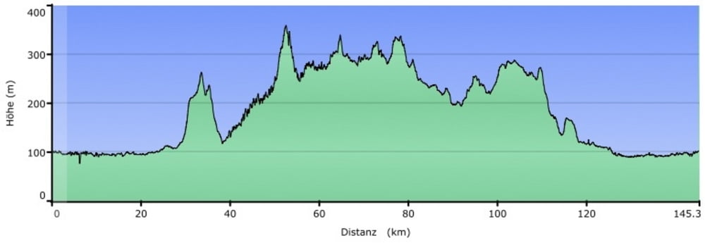
Minimum height 75 m
Maximum height 359 m
More about the tour author
|
|
nattermt |
Komentarze

- Mannheim Waldhof
- kostenlose Parplätze im Wohngebiet vorhanden
GPS tracks
Trackpoints-
GPX / Garmin Map Source (gpx) download
-
TCX / Garmin Training Center® (tcx) download
-
CRS / Garmin Training Center® (crs) download
-
Google Earth (kml) download
-
G7ToWin (g7t) download
-
TTQV (trk) download
-
Overlay (ovl) download
-
Fugawi (txt) download
-
Kompass (DAV) Track (tk) download
-
Karta trasy (pdf) download
-
Original file of the author (gpx) download
More about the tour author
|
|
nattermt |
Add to my favorites
Remove from my favorites
Edit tags
Open track
My score
Rate