Login

Zapomniałeś swój login?

Cookies have to be accepted!
Your browser's cookie functionality is disabled. Please enable this functionality.

Not a member yet?

Register now
Login

Available for registred users only

Log in to use this feature.

Zapomniałeś swój login?

Cookies have to be accepted!
Your browser's cookie functionality is disabled. Please enable this functionality.

Not a member yet?

Register now
Filter
Kategorie
Advanced filters
  • Długość (km)
  • Wysokość
Zapisz filtr Reset filter

TrackRank

QRCode

Technical data

Długość14,0 km Wysokość270 m Way down272 m Czas trwania01:25 h:m Data22.04.2011
Oceny Author Krajobraz Czynnik zadowolenia Kondycja Technika

Statystyka

459 Widoki Oceny 64 Downloads / Pliki do pobrania Przeciętnie
Rate
  • Karta trasy
  • Dojazd
  • Downloads / Pliki do pobrania

Kleine Tour bei Waldkirchen

Sie bietet alles was man auf dem Bike braucht - einen See und einen Bach.

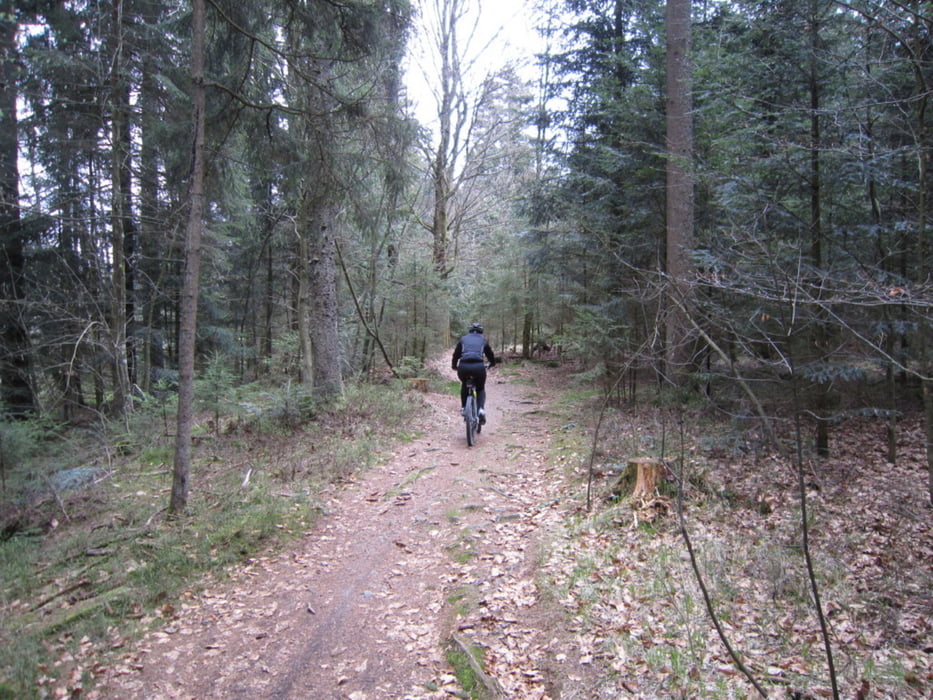
Teer unter den Reifen - aber auch Waldboden und Schotter.

Durch den Wald und durch den Ort.

Den Berg rauf und natürlich schnell wieder runter - das macht Spaß.

Technik muß man nicht unbedingt beherrschen - es macht einfach nur Spaß

Galeria trasy

Mapa trasy i profil wysokości

  • Open Street Map
  • Google
Minimum height 580 m Maximum height 710 m Widok szczegółowy

More about the tour author

matthiasneff
Member since 2009

Send private message

Komentarze

GPS tracks

Trackpoints
  • GPX / Garmin Map Source (gpx) download
  • TCX / Garmin Training Center® (tcx) download
  • CRS / Garmin Training Center® (crs) download
  • Google Earth (kml) download
  • G7ToWin (g7t) download
  • TTQV (trk) download
  • Overlay (ovl) download
  • Fugawi (txt) download
  • Kompass (DAV) Track (tk) download
  • Karta trasy (pdf) download
  • Original file of the author (gpx) download

More about the tour author

matthiasneff
Member since 2009

Send private message
Share track
Add to my favorites
Remove from my favorites
Edit tags
My score
Rate
Trasa: kleine Tour bei Waldkirchen / Bayerischer Wald
Rodzaj: Rower górski (MTB)
Długość: 14,0 km
Evaluated on:
Czas trwania:
Day(s)
Hour(s)
Minute(s)
Ocena: Krajobraz Czynnik zadowolenia Kondycja Technika