


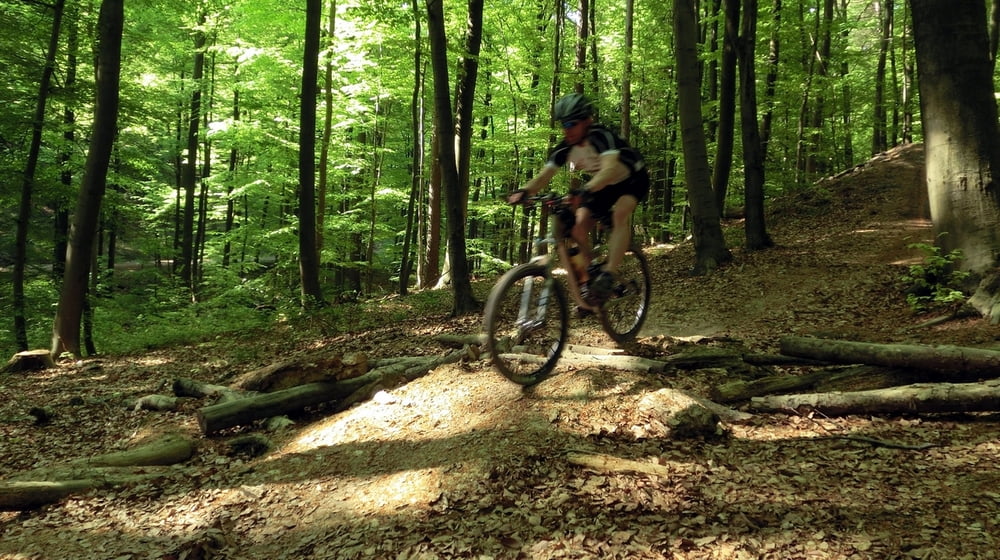
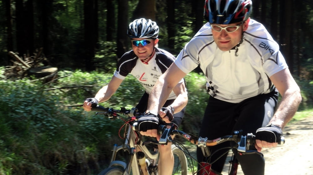
Diese Tour ist eine ideale Tour um erste Downhillerfahrungen im Deister zu sammeln. Sie ist gespickt mit rasanten Abfahrten, Wurzeltrails und etlichen Sprüngen (können immer umfahren werden).
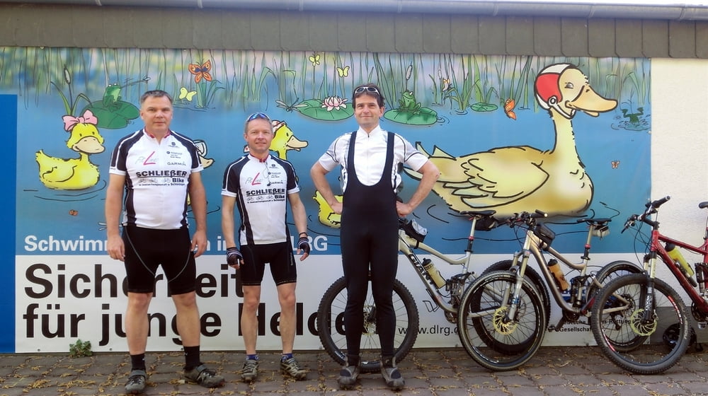
Start der Tour ist am Schwimmbad in Wennigsen. Der Trail im Bereich Blanke-Teich wird zweimal gefahren. Am Anfang und am Ende der Tour.
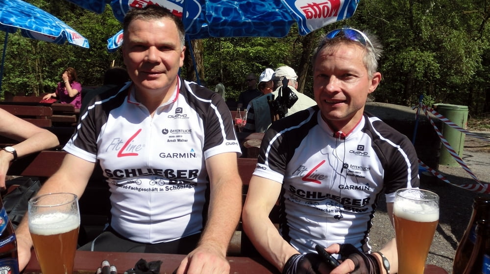
Vom ersten Etappenziel, dem Nordmannsturm geht es auf einem anspruchsvollen Trail an den Südrand des Deisters. Nach interessanten Bachüberfahrungen geht es auf direktem Weg zum Annaturm. Hier folgt dann nach kurzer Pause die schnelle und schwierige Abfahrt zurück nach Wennigsen.
Further information at
http://www.Schliesser-Bike.deGaleria trasy

Mapa trasy i profil wysokości
Minimum height 89 m
Maximum height 400 m
More about the tour author
|
|
mtb-tom |
Komentarze

Start der Tour ist am Schwimmbad in Wennigsen.
GPS tracks
Trackpoints-
GPX / Garmin Map Source (gpx) download
-
TCX / Garmin Training Center® (tcx) download
-
CRS / Garmin Training Center® (crs) download
-
Google Earth (kml) download
-
G7ToWin (g7t) download
-
TTQV (trk) download
-
Overlay (ovl) download
-
Fugawi (txt) download
-
Kompass (DAV) Track (tk) download
-
Karta trasy (pdf) download
-
Original file of the author (gpx) download
More about the tour author
|
|
mtb-tom |
Add to my favorites
Remove from my favorites
Edit tags
Open track
My score
Rate