Login

Zapomniałeś swój login?

Cookies have to be accepted!
Your browser's cookie functionality is disabled. Please enable this functionality.

Not a member yet?

Register now
Login

Available for registred users only

Log in to use this feature.

Zapomniałeś swój login?

Cookies have to be accepted!
Your browser's cookie functionality is disabled. Please enable this functionality.

Not a member yet?

Register now
Filter
Kategorie
Advanced filters
  • Długość (km)
  • Wysokość
Zapisz filtr Reset filter

TrackRank

QRCode

Technical data

Długość34,0 km Wysokość437 m Way down434 m Czas trwania00:00 h:m Data26.04.2011
Oceny Author Krajobraz Czynnik zadowolenia Kondycja Technika

Statystyka

523 Widoki Oceny 67 Downloads / Pliki do pobrania Przeciętnie
Rate
  • Karta trasy
  • Dojazd
  • Downloads / Pliki do pobrania
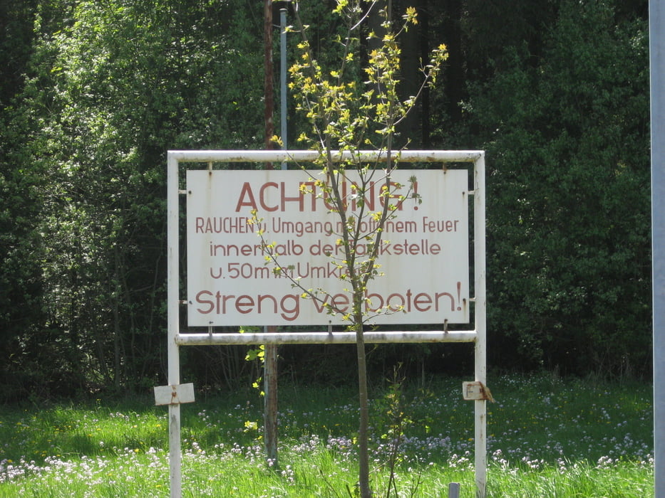
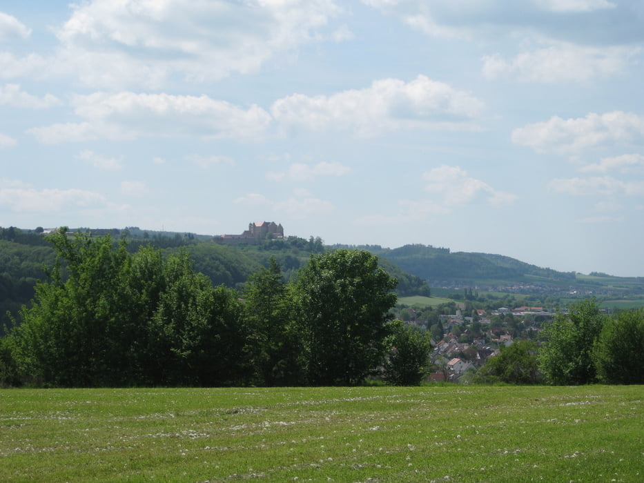
Eine kleine Tour Rund um Westhausen und Lauchheim, vorbei an den Windrädern bei Waldhausen und am ehemaligen Munitiondepot der Bundeswehr

Galeria trasy

Mapa trasy i profil wysokości

  • Open Street Map
  • Google
Minimum height 469 m Maximum height 721 m Widok szczegółowy

More about the tour author

danieleckl
Member since 2010

Send private message

Komentarze

GPS tracks

Trackpoints
  • GPX / Garmin Map Source (gpx) download
  • TCX / Garmin Training Center® (tcx) download
  • CRS / Garmin Training Center® (crs) download
  • Google Earth (kml) download
  • G7ToWin (g7t) download
  • TTQV (trk) download
  • Overlay (ovl) download
  • Fugawi (txt) download
  • Kompass (DAV) Track (tk) download
  • Karta trasy (pdf) download
  • Original file of the author (gpx) download

More about the tour author

danieleckl
Member since 2010

Send private message
Share track
Add to my favorites
Remove from my favorites
Edit tags
My score
Rate
Trasa: Rund um Westhausen und Laucheim
Rodzaj: Rower górski (MTB)
Długość: 34,0 km
Evaluated on:
Czas trwania:
Day(s)
Hour(s)
Minute(s)
Ocena: Krajobraz Czynnik zadowolenia Kondycja Technika