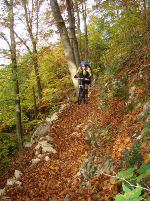
Landschaftlich geht es durch eine der schönsten Gegenden Deutschlands. Wer diesen Teil des Donautals noch nicht gesehen hat, für den ist diese Tour einfach ein Muss. Tour ist grösstenteils nicht technisch, allerdings der Abschnitt am oberen Donautal ist anspruchsvoll mit einigen kurzen Tragepassagen. Alternativ einfach im Tal bleiben.
Wir haben in Stetten a.k.M. übernachtet, da es mit dem 2.Tag eine Rundtour ist, ist das aber natürlich euch überlassen wo ihr nächtigt.
Wir haben in Stetten a.k.M. übernachtet, da es mit dem 2.Tag eine Rundtour ist, ist das aber natürlich euch überlassen wo ihr nächtigt.
Further information at
http://www.manager-abenteuer.deGaleria trasy
Mapa trasy i profil wysokości
Minimum height 570 m
Maximum height 954 m
Komentarze
Empfohlener Einstieg ist Hauptbahnhof Spaichingen.
GPS tracks
Trackpoints-
GPX / Garmin Map Source (gpx) download
-
TCX / Garmin Training Center® (tcx) download
-
CRS / Garmin Training Center® (crs) download
-
Google Earth (kml) download
-
G7ToWin (g7t) download
-
TTQV (trk) download
-
Overlay (ovl) download
-
Fugawi (txt) download
-
Kompass (DAV) Track (tk) download
-
Karta trasy (pdf) download
-
Original file of the author (gpx) download
Add to my favorites
Remove from my favorites
Edit tags
Open track
My score
Rate


Techn. daten
Das interessiert mich schon
Bin gerade am optimieren der Daten, sobald die Punkte raus sind stimmt auch der Wert. Welche Erfahrungen hast du mit der Bearbeitung ? Welche Software ist zu empfehlen? Gruss