


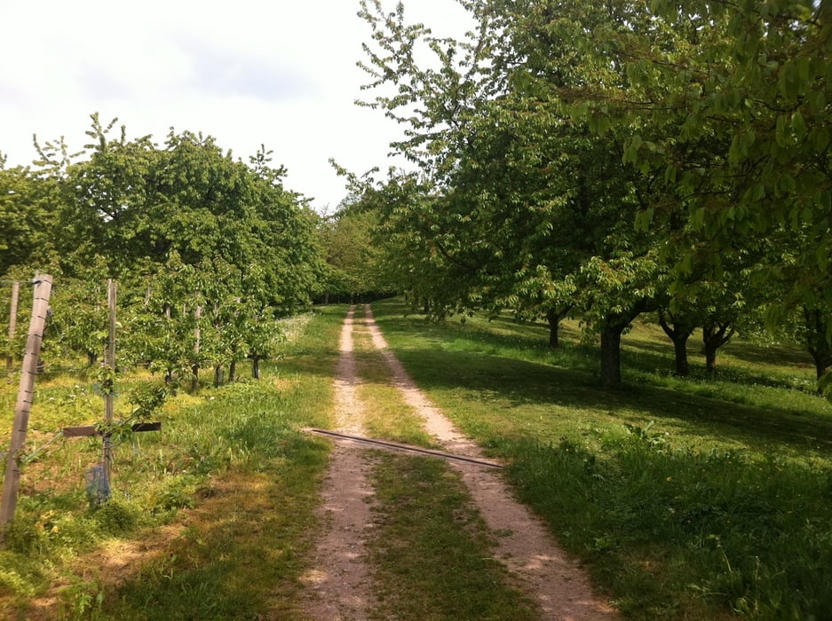
Die Strecke startete wie so oft über den Oberacherner Bienenbuckel in Richtung Schönbüch. Das Wetter war ok, da sich die ganzen Regenwolken über der südlichen Ortenau entleert hatten. Zwischenduch mal wieder einen längeren Asphaltabschnitt um mal wieder ein Gefühl für die akt. Kondition zu bekommen. Den Reben und Wälder fehlt natürlich noch etwas Farbe - aber das kommt auch noch. Am Breitenbrunnen gings dann Richtung Hohritt. Fürdie nächsteTour gibt es dort auch noch weitere schöne Abfahrten Richtung Lauf und Sasbachwalden - das nächste Mal. Heute gings rasch über die Landstraße wieder zurück nach Achern.
Galeria trasy
Mapa trasy i profil wysokości
Minimum height 84 m
Maximum height 846 m
More about the tour author

|
pako2103 |
Komentarze

GPS tracks
Trackpoints-
GPX / Garmin Map Source (gpx) download
-
TCX / Garmin Training Center® (tcx) download
-
CRS / Garmin Training Center® (crs) download
-
Google Earth (kml) download
-
G7ToWin (g7t) download
-
TTQV (trk) download
-
Overlay (ovl) download
-
Fugawi (txt) download
-
Kompass (DAV) Track (tk) download
-
Karta trasy (pdf) download
-
Original file of the author (gpx) download
More about the tour author
|
|
pako2103 |
Add to my favorites
Remove from my favorites
Edit tags
Open track
My score
Rate