Login

Zapomniałeś swój login?

Cookies have to be accepted!
Your browser's cookie functionality is disabled. Please enable this functionality.

Not a member yet?

Register now
Login

Available for registred users only

Log in to use this feature.

Zapomniałeś swój login?

Cookies have to be accepted!
Your browser's cookie functionality is disabled. Please enable this functionality.

Not a member yet?

Register now
Filter
Kategorie
Advanced filters
  • Długość (km)
  • Wysokość
Zapisz filtr Reset filter

TrackRank

QRCode

Technical data

Długość101,3 km Wysokość1487 m Way down1489 m Czas trwania03:30 h:m Data03.05.2011
Oceny Author User Krajobraz Czynnik zadowolenia Kondycja Technika

Statystyka

804 Widoki 1 Ocena 268 Downloads / Pliki do pobrania 4.00 Przeciętnie
Rate
  • Karta trasy
  • Dojazd
  • Downloads / Pliki do pobrania
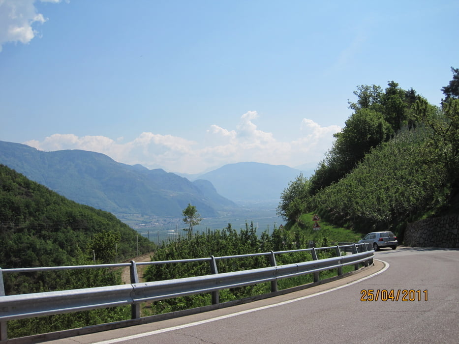
Eine andere Variante der Lanaer-Seitenblicke. Zunächst geht es steil nach Naraun. Die Belohnung  ist ein herrlicher Ausblick auf Meran 2000 und die Dolomiten. Super Panorama

Mapa trasy i profil wysokości

  • Open Street Map
  • Google
Minimum height 251 m Maximum height 739 m Widok szczegółowy

More about the tour author

Harry1
Member since 2009

Send private message

Komentarze

GPS tracks

Trackpoints
  • GPX / Garmin Map Source (gpx) download
  • TCX / Garmin Training Center® (tcx) download
  • CRS / Garmin Training Center® (crs) download
  • Google Earth (kml) download
  • G7ToWin (g7t) download
  • TTQV (trk) download
  • Overlay (ovl) download
  • Fugawi (txt) download
  • Kompass (DAV) Track (tk) download
  • Karta trasy (pdf) download
  • Original file of the author (gpx) download

More about the tour author

Harry1
Member since 2009

Send private message
Share track
Add to my favorites
Remove from my favorites
Edit tags
My score
Rate
Trasa: Lana-Tisens-Sigmundskron
Rodzaj: Rower górski (MTB)
Długość: 101,3 km
Evaluated on:
Czas trwania:
Day(s)
Hour(s)
Minute(s)
Ocena: Krajobraz Czynnik zadowolenia Kondycja Technika