


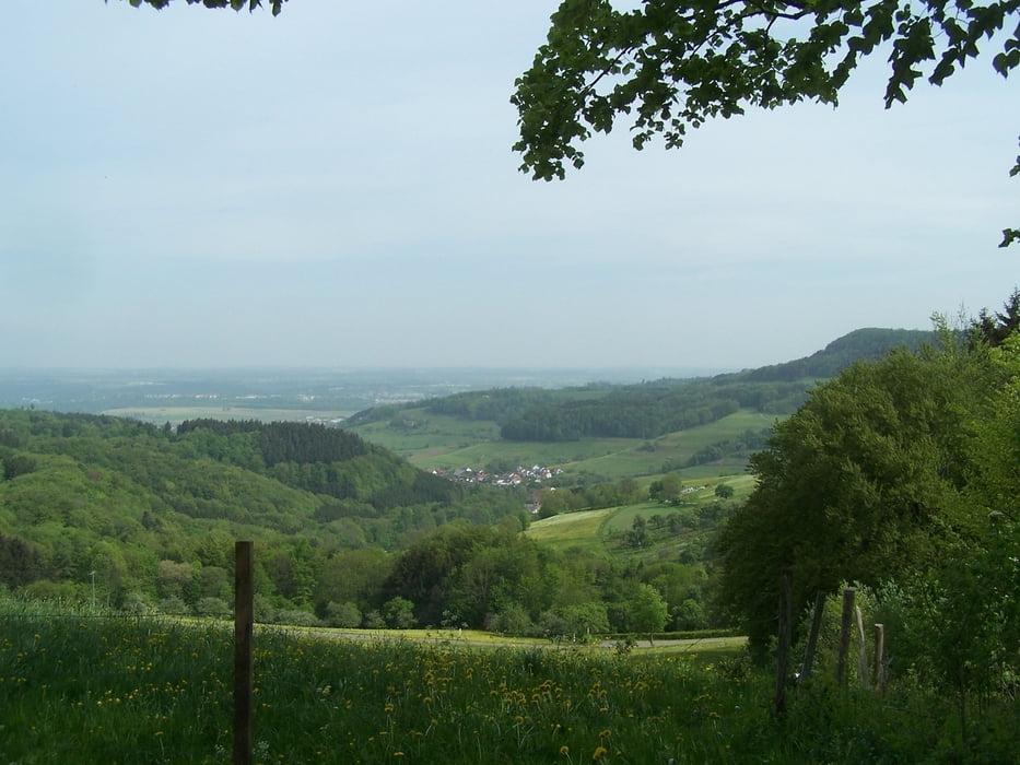
Die Runde beginnt am Parkplatz südlich von Tannweiler. Auf einem Schotterweg steigt der Track bis zur Reiterleskapelle an. Von dort gibt es den ersten schönen Ausblick in das Tal.
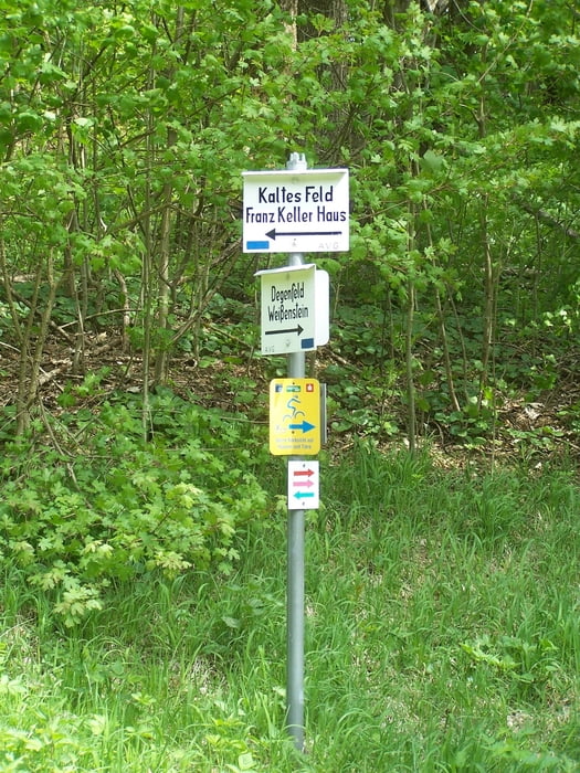
Dann folgt das Steilstück auf die Hochebene des Kalten Feldes. Oben angekommen nach rechts und dann immer an der Kante entlang. Die Ausblicke machen immer wieder gute Laune.
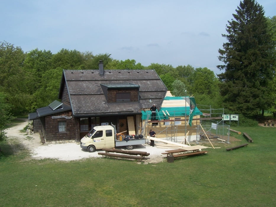
Pause auf der Hochfläche beim Franz-Keller-Haus. Dort kann auch übernachtet werden. Entweder im Haus oder in der Villa Maus. Das Franz-Keller-Haus wird momentan um einen richtigen Sanitärbereich erweitert. Dann schmeckt das Essen besser.
Der Rückweg wieder an der Kante entlang und der Weg hinunter wie hoch.
Viel Spass.
Further information at
http://de.wikipedia.org/wiki/Kaltes_FeldGaleria trasy
Mapa trasy i profil wysokości
Minimum height 592 m
Maximum height 790 m
More about the tour author
|
|
Pheinz |
Komentarze

Anreise mit dem Auto.
GPS tracks
Trackpoints-
GPX / Garmin Map Source (gpx) download
-
TCX / Garmin Training Center® (tcx) download
-
CRS / Garmin Training Center® (crs) download
-
Google Earth (kml) download
-
G7ToWin (g7t) download
-
TTQV (trk) download
-
Overlay (ovl) download
-
Fugawi (txt) download
-
Kompass (DAV) Track (tk) download
-
Karta trasy (pdf) download
-
Original file of the author (gpx) download
More about the tour author
|
|
Pheinz |
Add to my favorites
Remove from my favorites
Edit tags
Open track
My score
Rate