Login

Zapomniałeś swój login?

Cookies have to be accepted!
Your browser's cookie functionality is disabled. Please enable this functionality.

Not a member yet?

Register now
Login

Available for registred users only

Log in to use this feature.

Zapomniałeś swój login?

Cookies have to be accepted!
Your browser's cookie functionality is disabled. Please enable this functionality.

Not a member yet?

Register now
Filter
Kategorie
Advanced filters
  • Długość (km)
  • Wysokość
Zapisz filtr Reset filter

TrackRank

QRCode

Technical data

Długość18,4 km Wysokość936 m Way down938 m Czas trwania06:00 h:m Data06.05.2011
Oceny Author Krajobraz Czynnik zadowolenia Kondycja Technika

Statystyka

739 Widoki Oceny 13 Downloads / Pliki do pobrania Przeciętnie
Rate
  • Karta trasy
  • Dojazd
  • Downloads / Pliki do pobrania

Départ de Wintzfelden longue montée vers le Boenlesgrab puis le Petit Ballon, 1000m de denivelé

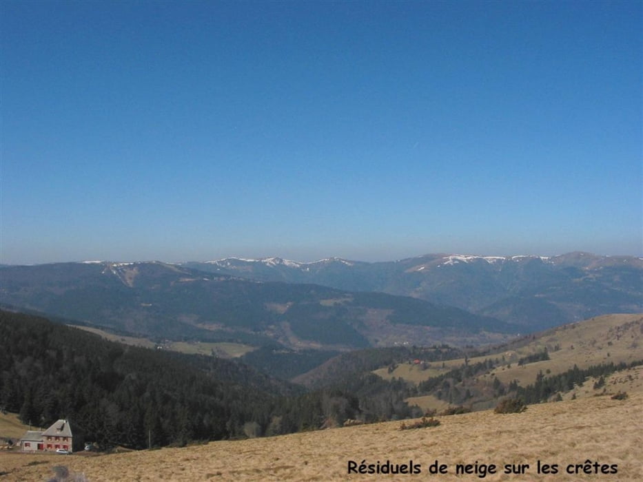
Descente très agréable avec de beau point de vue sur la chaine des Vosges et les vallées

Galeria trasy

Mapa trasy i profil wysokości

  • Open Street Map
  • Google
Minimum height 406 m Maximum height 1264 m Widok szczegółowy

More about the tour author

Domi68
Member since 2011

Send private message

Komentarze

GPS tracks

Trackpoints
  • GPX / Garmin Map Source (gpx) download
  • TCX / Garmin Training Center® (tcx) download
  • CRS / Garmin Training Center® (crs) download
  • Google Earth (kml) download
  • G7ToWin (g7t) download
  • TTQV (trk) download
  • Overlay (ovl) download
  • Fugawi (txt) download
  • Kompass (DAV) Track (tk) download
  • Karta trasy (pdf) download
  • Original file of the author (gpx) download

More about the tour author

Domi68
Member since 2011

Send private message
Share track
Add to my favorites
Remove from my favorites
Edit tags
My score
Rate
Trasa: Montée au Petit Ballon
Rodzaj: Sanki
Długość: 18,4 km
Evaluated on:
Czas trwania:
Day(s)
Hour(s)
Minute(s)
Ocena: Krajobraz Czynnik zadowolenia Kondycja Technika