Login

Zapomniałeś swój login?

Cookies have to be accepted!
Your browser's cookie functionality is disabled. Please enable this functionality.

Not a member yet?

Register now
Login

Available for registred users only

Log in to use this feature.

Zapomniałeś swój login?

Cookies have to be accepted!
Your browser's cookie functionality is disabled. Please enable this functionality.

Not a member yet?

Register now
Filter
Kategorie
Advanced filters
  • Długość (km)
  • Wysokość
Zapisz filtr Reset filter

TrackRank

QRCode

Technical data

Długość75,7 km Wysokość633 m Way down269 m Czas trwania03:00 h:m Data08.05.2011
Oceny Author Krajobraz Czynnik zadowolenia Kondycja Technika

Statystyka

1093 Widoki Oceny 23 Downloads / Pliki do pobrania Przeciętnie
Rate
  • Karta trasy
  • Dojazd
  • Downloads / Pliki do pobrania

Am Bischborner Hof (10km von Lohr entfernt) läuft man ein sonnigen Weg hinab bis ins Haferlohrtal. Von dort an Richtung Westen bis zum Wirtshaus Hoher Knuck.

Hier wieder Richtung Westen, das nächste Tal wieder bergauf bis zum Andreaskruz. Dir Fahrstrasse überqueren und gleich rechts halten und den leicht bergauf führenden Weg bis zum Ausgangspunkt zurück folgen.
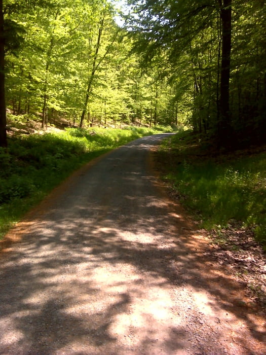
Galeria trasy

Mapa trasy i profil wysokości

  • Open Street Map
  • Google
Minimum height 100 m Maximum height 522 m Widok szczegółowy

More about the tour author

hans1969
Member since 2010

Send private message

Komentarze

GPS tracks

Trackpoints
  • GPX / Garmin Map Source (gpx) download
  • TCX / Garmin Training Center® (tcx) download
  • CRS / Garmin Training Center® (crs) download
  • Google Earth (kml) download
  • G7ToWin (g7t) download
  • TTQV (trk) download
  • Overlay (ovl) download
  • Fugawi (txt) download
  • Kompass (DAV) Track (tk) download
  • Karta trasy (pdf) download
  • Original file of the author (gpx) download

More about the tour author

hans1969
Member since 2010

Send private message
Share track
Add to my favorites
Remove from my favorites
Edit tags
My score
Rate
Trasa: Bischborner Hof - Hoher Knuck
Rodzaj: Wędrówki
Długość: 75,7 km
Evaluated on:
Czas trwania:
Day(s)
Hour(s)
Minute(s)
Ocena: Krajobraz Czynnik zadowolenia Kondycja Technika