Login

Zapomniałeś swój login?

Cookies have to be accepted!
Your browser's cookie functionality is disabled. Please enable this functionality.

Not a member yet?

Register now
Login

Available for registred users only

Log in to use this feature.

Zapomniałeś swój login?

Cookies have to be accepted!
Your browser's cookie functionality is disabled. Please enable this functionality.

Not a member yet?

Register now
Filter
Kategorie
Advanced filters
  • Długość (km)
  • Wysokość
Zapisz filtr Reset filter

TrackRank

QRCode

Technical data

Długość24,1 km Wysokość492 m Way down485 m Czas trwania02:15 h:m Data08.05.2011
Oceny Author Krajobraz Czynnik zadowolenia Kondycja Technika

Statystyka

1975 Widoki Oceny 137 Downloads / Pliki do pobrania Przeciętnie
Rate
  • Karta trasy
  • Dojazd
  • Downloads / Pliki do pobrania
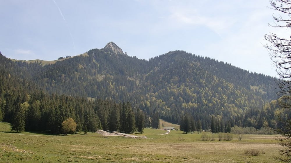
Einfache Tour, grösstenteils auf Asphalt, zur unbewirtschafteten Alm. Die Strasse ist gut fahrbar und hat nur wenige, kurze steilere Rampen ( bis ca. 15% ). Es geht ein Stück auf dem Anfahrtsweg zurück bis man links abbiegt und auf bester Forstpiste durch's Klaffenbachtal hinunter zur Isar fährt. Leider muss man einige Zeit den Radweg wntlang der Bundesstrasse nehmen, um später wieder rechts kurz bergauf zu fahren und auf dem bekannten Anfahrtsweg zum Parkplatz zu fahren.

Galeria trasy

Mapa trasy i profil wysokości

  • Open Street Map
  • Google
Minimum height 619 m Maximum height 1097 m Widok szczegółowy

More about the tour author

mfa69
Member since 2009

Send private message

Komentarze

GPS tracks

Trackpoints
  • GPX / Garmin Map Source (gpx) download
  • TCX / Garmin Training Center® (tcx) download
  • CRS / Garmin Training Center® (crs) download
  • Google Earth (kml) download
  • G7ToWin (g7t) download
  • TTQV (trk) download
  • Overlay (ovl) download
  • Fugawi (txt) download
  • Kompass (DAV) Track (tk) download
  • Karta trasy (pdf) download
  • Original file of the author (gpx) download

More about the tour author

mfa69
Member since 2009

Send private message
Share track
Add to my favorites
Remove from my favorites
Edit tags
My score
Rate
Trasa: Lenggries - Röhrlmoosalm
Rodzaj: Rower górski (MTB)
Długość: 24,1 km
Evaluated on:
Czas trwania:
Day(s)
Hour(s)
Minute(s)
Ocena: Krajobraz Czynnik zadowolenia Kondycja Technika