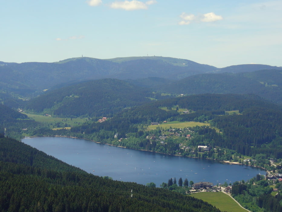
Wanderung von Saig nach Titisee, mit Möglichkeit einer Rast in Titisee oder in Saig.
Parken kann man am besten in Saig am Haus des Gastes in der Ortsmitte.
Weg ist teilweise ein Pfad, sonst gute Waldwege.
Further information at
http://www.haus-loni.deGaleria trasy
Mapa trasy i profil wysokości
Minimum height 848 m
Maximum height 1038 m
Komentarze
GPS tracks
Trackpoints-
GPX / Garmin Map Source (gpx) download
-
TCX / Garmin Training Center® (tcx) download
-
CRS / Garmin Training Center® (crs) download
-
Google Earth (kml) download
-
G7ToWin (g7t) download
-
TTQV (trk) download
-
Overlay (ovl) download
-
Fugawi (txt) download
-
Kompass (DAV) Track (tk) download
-
Karta trasy (pdf) download
-
Original file of the author (gpx) download
Add to my favorites
Remove from my favorites
Edit tags
Open track
My score
Rate


Super!
Der Weg durch den Wald vom Parkplatz Rotkreuz zum Titisee, Campingplatz Sandbank, wird leider nicht mehr gepflegt. Ist unser Geheimtipp den wir gerne weiter geben.