

Eine kurze Runde zur Körperertüchtigung am Abend.
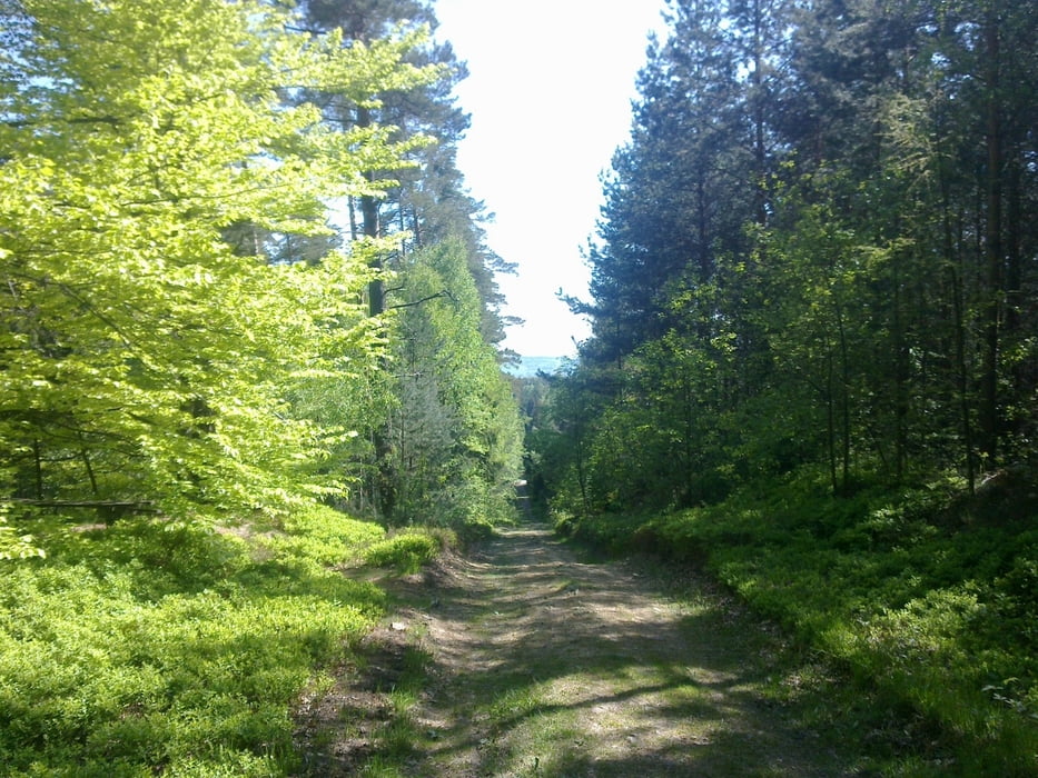
Von Dresden nach Kesselsdorf, weiter nach Fördergersdorf,
Nach Hartha und zurück über Edle Krone, Tharandt und Freital.
Teilweise Straße, da nicht viel Zeit war.
Von Dresden nach Kesselsdorf, weiter nach Fördergersdorf,
Nach Hartha und zurück über Edle Krone, Tharandt und Freital.
Teilweise Straße, da nicht viel Zeit war.
Galeria trasy

Mapa trasy i profil wysokości
Minimum height 145 m
Maximum height 419 m
More about the tour author
|
|
GS_Rider |
Komentarze

GPS tracks
Trackpoints-
GPX / Garmin Map Source (gpx) download
-
TCX / Garmin Training Center® (tcx) download
-
CRS / Garmin Training Center® (crs) download
-
Google Earth (kml) download
-
G7ToWin (g7t) download
-
TTQV (trk) download
-
Overlay (ovl) download
-
Fugawi (txt) download
-
Kompass (DAV) Track (tk) download
-
Karta trasy (pdf) download
-
Original file of the author (gpx) download
More about the tour author
|
|
GS_Rider |
Add to my favorites
Remove from my favorites
Edit tags
Open track
My score
Rate