


Diese leichte Mountainbiketour ist ideal geeignet um das Umland des Wohldenberges zu erkunden.
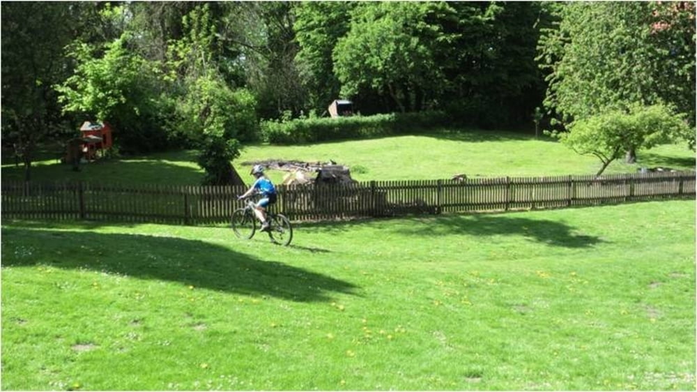
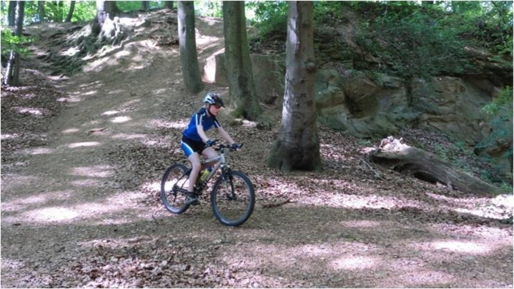
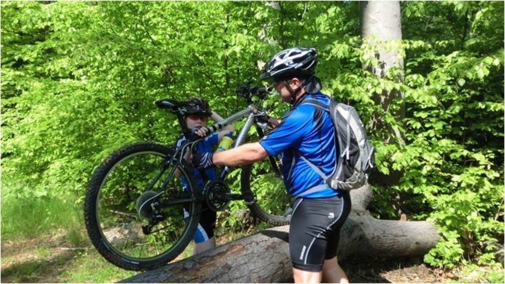
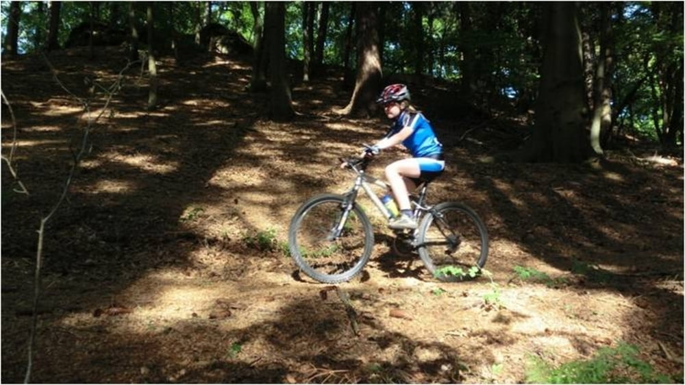
Start der Tour ist auf dem Parkplatz unterhalb der Jugendbildungsstätte. Von hier geht es auf Asphalt in Richtung Kirche Hl. Hubertus. Weiter geht es auf dem historischen Wanderweg durch den Steinbruch. Beim Verlassen des Steinbruchs geht es rechts in Richtung Jägerhaus. Interessante Trails und befestigte Schotterstraßen sind bis zum Jägerhaus jetzt Wegbegleiter. Das Jägerhaus lädt zum Verweilen ein und die Kapelle Hl. Hubertus sollte besichtigt werden (siehe YouTube). Der Rückweg beginnt mit einem rasanten Trail bevor es dann auf Schotter fast bis zum Wohldenberg geht. Den Abschluss der Tour bildet wieder ein abwechslungsreicher Trail
Start der Tour ist auf dem Parkplatz unterhalb der Jugendbildungsstätte. Von hier geht es auf Asphalt in Richtung Kirche Hl. Hubertus. Weiter geht es auf dem historischen Wanderweg durch den Steinbruch. Beim Verlassen des Steinbruchs geht es rechts in Richtung Jägerhaus. Interessante Trails und befestigte Schotterstraßen sind bis zum Jägerhaus jetzt Wegbegleiter. Das Jägerhaus lädt zum Verweilen ein und die Kapelle Hl. Hubertus sollte besichtigt werden (siehe YouTube). Der Rückweg beginnt mit einem rasanten Trail bevor es dann auf Schotter fast bis zum Wohldenberg geht. Den Abschluss der Tour bildet wieder ein abwechslungsreicher Trail
Further information at
http://www.Schliesser-Bike.deGaleria trasy


Mapa trasy i profil wysokości
Minimum height 131 m
Maximum height 257 m
More about the tour author
|
|
mtb-tom |
Komentarze

GPS tracks
Trackpoints-
GPX / Garmin Map Source (gpx) download
-
TCX / Garmin Training Center® (tcx) download
-
CRS / Garmin Training Center® (crs) download
-
Google Earth (kml) download
-
G7ToWin (g7t) download
-
TTQV (trk) download
-
Overlay (ovl) download
-
Fugawi (txt) download
-
Kompass (DAV) Track (tk) download
-
Karta trasy (pdf) download
-
Original file of the author (gpx) download
More about the tour author
|
|
mtb-tom |
Add to my favorites
Remove from my favorites
Edit tags
Open track
My score
Rate