Kein Rundkurs, sondern Point-to-Point.
Die Route führt entland klassischer Bundesstraßen, allen voran der B54 Wechsel-Bundesstraße. Mit entsprechend viel Verkehr ist zu rechnen.
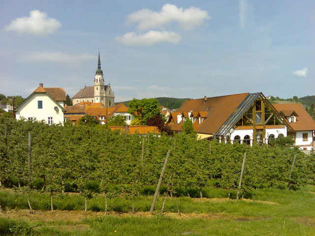
Landschaftlich hat der Kurs jede Menge zu bieten. Vom Flachland, über Alpenvorland bis zur steirischen Hügeln und Großstädten.
Ein Blick in den Wetterbericht macht sich bezahlt, wenn man nicht wie ich beim Befahren 180 Kilometer gegen den Wind fahren will.
Insebsondere im steirischen Abschnitt warten jede Menge kleine Hügel, die gegen Ende hin bei entsprechendem Tempo ganz schön in die Beine gehen. Ein "Zielsprint" auf die Laßnitzhöhe bei Graz macht sich bezahlt, dort oben warten jede Menge gemütliche Buschenschenken.
Further information at
http://www.graz.atGaleria trasy
Mapa trasy i profil wysokości
Minimum height 155 m
Maximum height 940 m
Komentarze
www.map24.at
GPS tracks
Trackpoints-
GPX / Garmin Map Source (gpx) download
-
TCX / Garmin Training Center® (tcx) download
-
CRS / Garmin Training Center® (crs) download
-
Google Earth (kml) download
-
G7ToWin (g7t) download
-
TTQV (trk) download
-
Overlay (ovl) download
-
Fugawi (txt) download
-
Kompass (DAV) Track (tk) download
-
Karta trasy (pdf) download
-
Original file of the author (gpx) download
Add to my favorites
Remove from my favorites
Edit tags
Open track
My score
Rate


Gepäcksträger