

Durchführung am Männertag 2011
Über ausgewählt schöne Nebenstraßen, Wald- & Feldwege ging es vom südlichen Zipfel der Pöhltalsperre über den westlichen Erzgebirgskamm nach Schöneck. Dem Musikantenradweg folgend erreichten wir die deutsch-tschechische Grenze, die wir auf dem Grenzradweg über das Dreiländereck abfuhren.
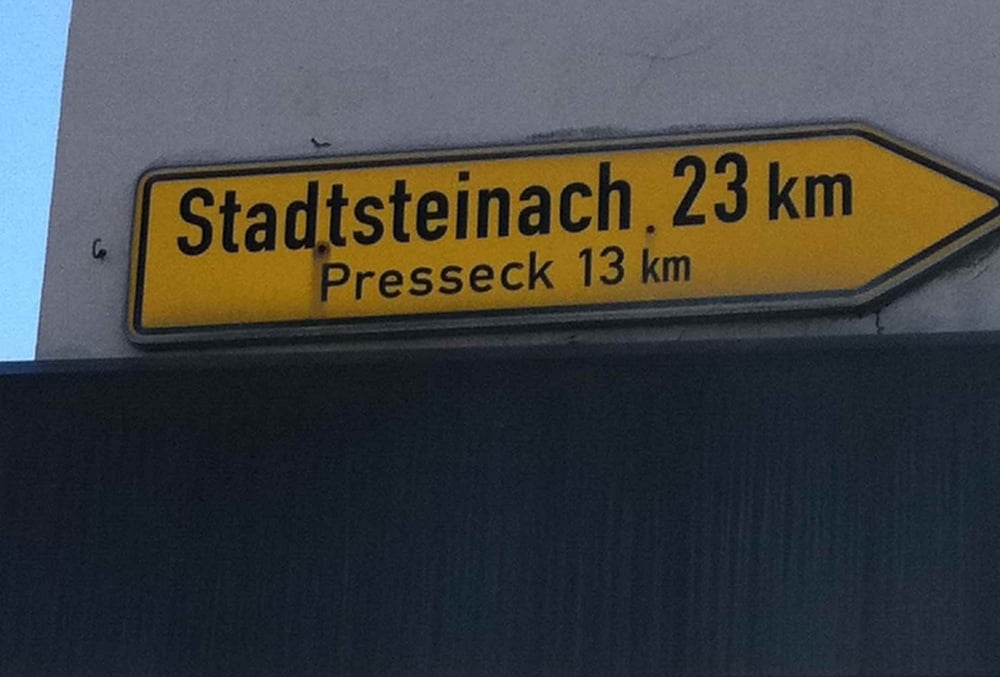
Südlich von Hof wählten wir für ein kurzes Stück den Saaleradweg nach Süden, den wir dann auf ziemlich gerader südwestlicher Linie nach Richtung Stadtsteinach verließen. Über viele interessante wenn auch steile Waldwege erreichten wir unser Ziel.
Galeria trasy


Mapa trasy i profil wysokości
Minimum height 332 m
Maximum height 710 m
More about the tour author
|
|
Traubfred |
Komentarze

Start 8:00 von Plauen Hbf
Ziel 18:00 in Stadtsteinach
GPS tracks
Trackpoints-
GPX / Garmin Map Source (gpx) download
-
TCX / Garmin Training Center® (tcx) download
-
CRS / Garmin Training Center® (crs) download
-
Google Earth (kml) download
-
G7ToWin (g7t) download
-
TTQV (trk) download
-
Overlay (ovl) download
-
Fugawi (txt) download
-
Kompass (DAV) Track (tk) download
-
Karta trasy (pdf) download
-
Original file of the author (gpx) download
More about the tour author
|
|
Traubfred |
Add to my favorites
Remove from my favorites
Edit tags
Open track
My score
Rate