Login

Zapomniałeś swój login?

Cookies have to be accepted!
Your browser's cookie functionality is disabled. Please enable this functionality.

Not a member yet?

Register now
Login

Available for registred users only

Log in to use this feature.

Zapomniałeś swój login?

Cookies have to be accepted!
Your browser's cookie functionality is disabled. Please enable this functionality.

Not a member yet?

Register now
Filter
Kategorie
Advanced filters
  • Długość (km)
  • Wysokość
Zapisz filtr Reset filter

TrackRank

QRCode

Technical data

Długość21,6 km Wysokość601 m Way down525 m Czas trwania02:00 h:m Data12.05.2011
Oceny Author User Krajobraz Czynnik zadowolenia Kondycja Technika

Statystyka

942 Widoki 3 Oceny 167 Downloads / Pliki do pobrania 3.67 Przeciętnie
Rate
  • Karta trasy
  • Dojazd
  • Downloads / Pliki do pobrania
Wem es noch nicht reicht der kann die Tour auch nochmal zurück fahren!  - wer dann nirgends absteigen muß, dem möchte ich ein Weizenbier ausgeben! falls ich noch ein paar schöne Trails nicht kenne bitte melden!
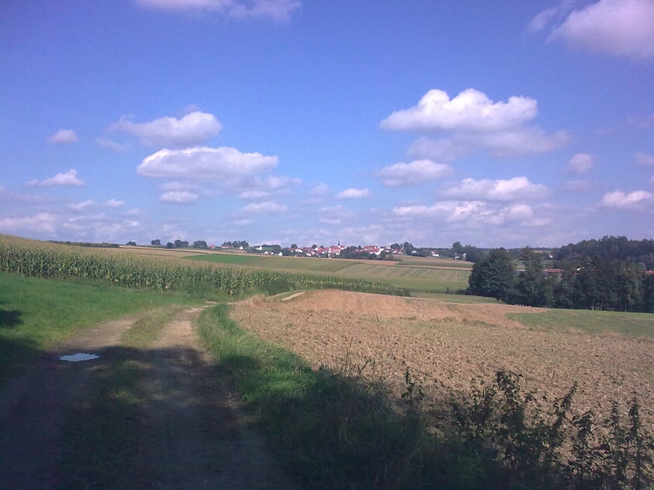
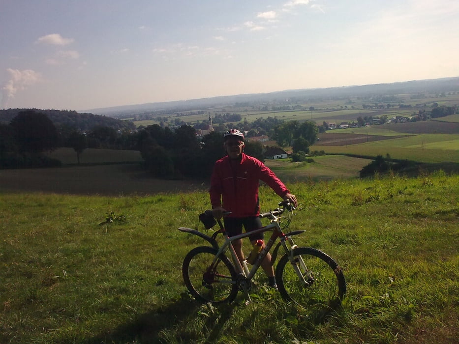
Galeria trasy

Mapa trasy i profil wysokości

  • Open Street Map
  • Google
Minimum height 335 m Maximum height 490 m Widok szczegółowy

More about the tour author

GILBERTMU
Member since 2010

Send private message

Komentarze

060754 on 27.05.2011

die steilsten Rampen

Ich bins gefahren. Die haut ja teilweise ganz schön rein. Hat Riesenspaß gemacht. Das anschließende Weiß-
bier schmeckt auch mit oder ohne absteigen.

GPS tracks

Trackpoints
  • GPX / Garmin Map Source (gpx) download
  • TCX / Garmin Training Center® (tcx) download
  • CRS / Garmin Training Center® (crs) download
  • Google Earth (kml) download
  • G7ToWin (g7t) download
  • TTQV (trk) download
  • Overlay (ovl) download
  • Fugawi (txt) download
  • Kompass (DAV) Track (tk) download
  • Karta trasy (pdf) download
  • Original file of the author (gpx) download

More about the tour author

GILBERTMU
Member since 2010

Send private message
Share track
Add to my favorites
Remove from my favorites
Edit tags
My score
Rate
Trasa: Die steilsten Rampen und Trails um Eugenbach
Rodzaj: Rower górski (MTB)
Długość: 21,6 km
Evaluated on:
Czas trwania:
Day(s)
Hour(s)
Minute(s)
Ocena: Krajobraz Czynnik zadowolenia Kondycja Technika