Login

Zapomniałeś swój login?

Cookies have to be accepted!
Your browser's cookie functionality is disabled. Please enable this functionality.

Not a member yet?

Register now
Login

Available for registred users only

Log in to use this feature.

Zapomniałeś swój login?

Cookies have to be accepted!
Your browser's cookie functionality is disabled. Please enable this functionality.

Not a member yet?

Register now
Filter
Kategorie
Advanced filters
  • Długość (km)
  • Wysokość
Zapisz filtr Reset filter

TrackRank

QRCode

Technical data

Długość34,4 km Wysokość482 m Way down479 m Czas trwania02:11 h:m Data14.05.2011
Oceny Author Krajobraz Czynnik zadowolenia Kondycja Technika

Statystyka

411 Widoki Oceny 20 Downloads / Pliki do pobrania Przeciętnie
Rate
  • Karta trasy
  • Dojazd
  • Downloads / Pliki do pobrania

Startpunkt ist die Brücke bei Thansüß. Von da aus geht es nach Weickenricht und dann Richtung Atzmannsricht. Jetzt weiter nach Kainsricht und danach über den Berg nach Ölhof. Von hier aus nach Ebersbach. Nun gehst es Richtung Seugast und dann wieder zurück zum Ausgangspunkt.


Tour kann logischerweis auch von wo anders aus gestartet werden.
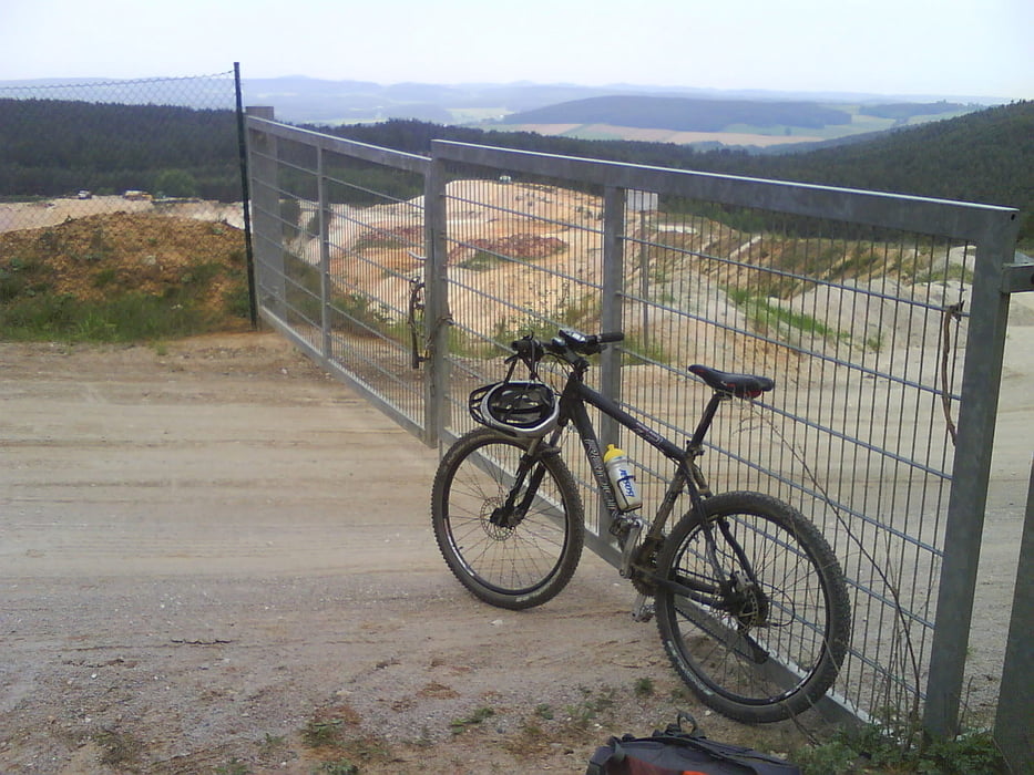
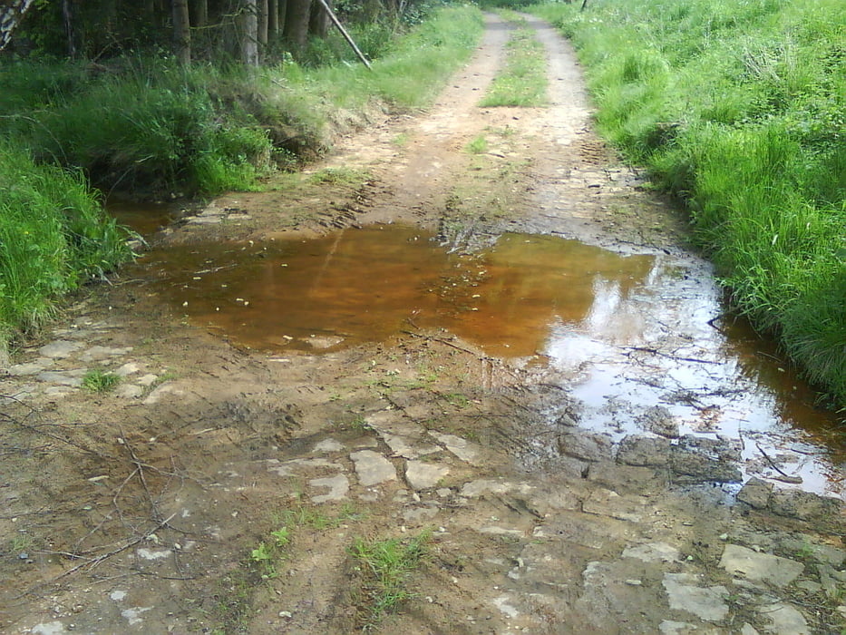
Galeria trasy

Mapa trasy i profil wysokości

  • Open Street Map
  • Google
Minimum height 412 m Maximum height 571 m Widok szczegółowy

More about the tour author

Enduro_Kordl
Member since 2011

Send private message

Komentarze

GPS tracks

Trackpoints
  • GPX / Garmin Map Source (gpx) download
  • TCX / Garmin Training Center® (tcx) download
  • CRS / Garmin Training Center® (crs) download
  • Google Earth (kml) download
  • G7ToWin (g7t) download
  • TTQV (trk) download
  • Overlay (ovl) download
  • Fugawi (txt) download
  • Kompass (DAV) Track (tk) download
  • Karta trasy (pdf) download
  • Original file of the author (gpx) download

More about the tour author

Enduro_Kordl
Member since 2011

Send private message
Share track
Add to my favorites
Remove from my favorites
Edit tags
My score
Rate
Trasa: Rundtour Thansüß-Kainsricht
Rodzaj: Rower górski (MTB)
Długość: 34,4 km
Evaluated on:
Czas trwania:
Day(s)
Hour(s)
Minute(s)
Ocena: Krajobraz Czynnik zadowolenia Kondycja Technika