Login

Zapomniałeś swój login?

Cookies have to be accepted!
Your browser's cookie functionality is disabled. Please enable this functionality.

Not a member yet?

Register now
Login

Available for registred users only

Log in to use this feature.

Zapomniałeś swój login?

Cookies have to be accepted!
Your browser's cookie functionality is disabled. Please enable this functionality.

Not a member yet?

Register now
Filter
Kategorie
Advanced filters
  • Długość (km)
  • Wysokość
Zapisz filtr Reset filter

TrackRank

QRCode

Technical data

Długość11,0 km Wysokość81 m Way down65 m Czas trwania03:00 h:m Data14.05.2011
Oceny Author User Krajobraz Czynnik zadowolenia Kondycja Technika

Statystyka

2839 Widoki 2 Oceny 160 Downloads / Pliki do pobrania 4.50 Przeciętnie
Rate
  • Karta trasy
  • Dojazd
  • Downloads / Pliki do pobrania
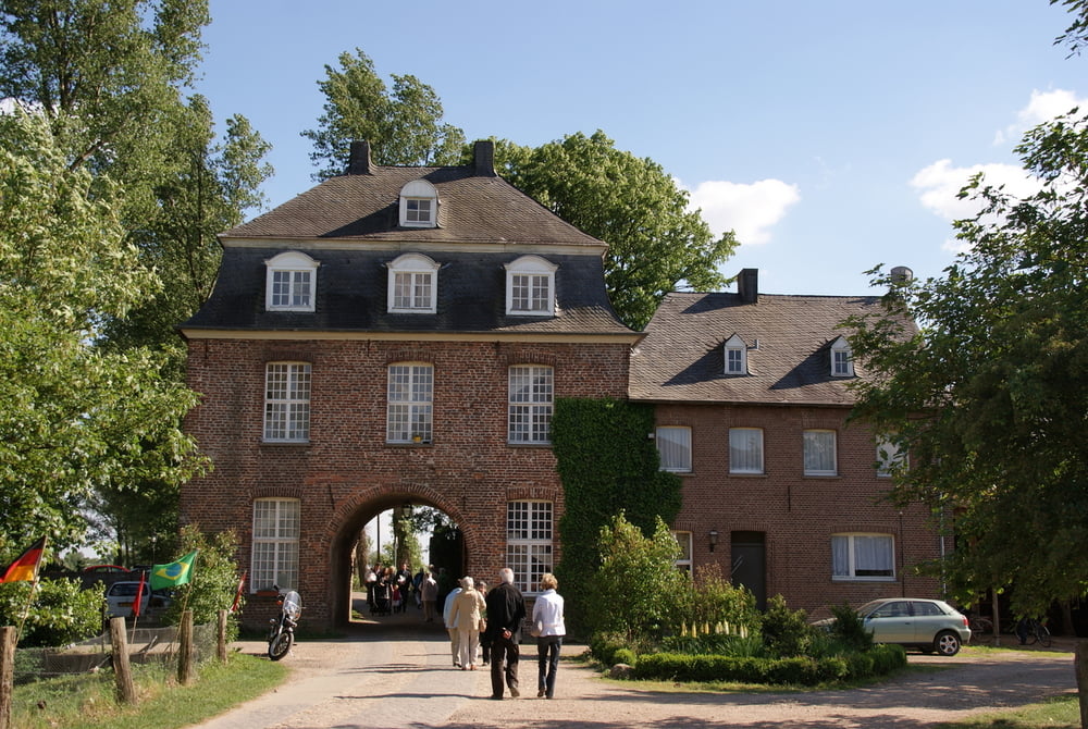
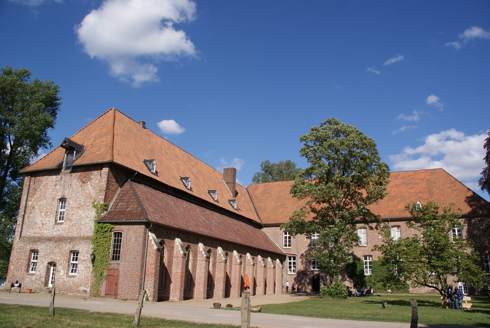
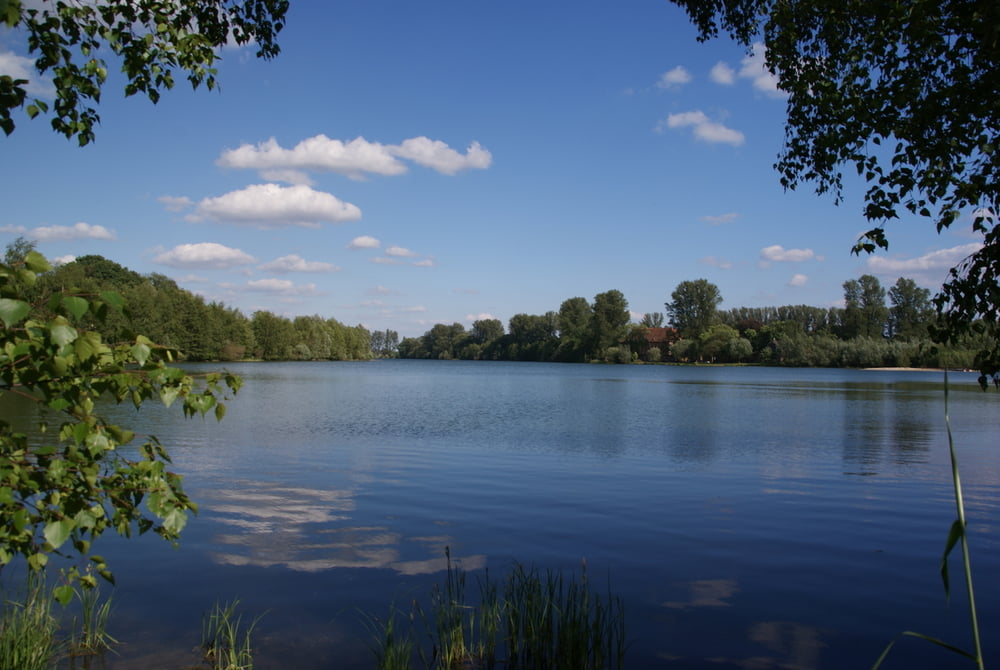
Een tocht langs de oevers van de Niers, de uitlopers van de stuwwallen van het Reichwald. Met een vervolg aan de zuidelijke oever langs Klooster Graefenthal, enkele meertjes en weer de Niers. Een erg mooie afwisselende wandeltocht door bos en langs water. Een gebied waar opgravingen gedaan zijn van een Romeinse nederzetting.

Further information at

http://nl.wikipedia.org/wiki/Klooster_Graefenthal

Galeria trasy

Mapa trasy i profil wysokości

  • Open Street Map
  • Google
Minimum height -9 m Maximum height 42 m Widok szczegółowy

More about the tour author

tonyboy
Member since 2010

Send private message

Komentarze

De parkeermogelijkheden zijn de de GPXfile verwerkt.

GPS tracks

Trackpoints
  • GPX / Garmin Map Source (gpx) download
  • TCX / Garmin Training Center® (tcx) download
  • CRS / Garmin Training Center® (crs) download
  • Google Earth (kml) download
  • G7ToWin (g7t) download
  • TTQV (trk) download
  • Overlay (ovl) download
  • Fugawi (txt) download
  • Kompass (DAV) Track (tk) download
  • Karta trasy (pdf) download
  • Original file of the author (gpx) download

More about the tour author

tonyboy
Member since 2010

Send private message
Share track
Add to my favorites
Remove from my favorites
Edit tags
My score
Rate
Trasa: Kessel - Asperden, langs de oevers van de Niers
Rodzaj: Wędrówki
Długość: 11,0 km
Evaluated on:
Czas trwania:
Day(s)
Hour(s)
Minute(s)
Ocena: Krajobraz Czynnik zadowolenia Kondycja Technika