Login

Zapomniałeś swój login?

Cookies have to be accepted!
Your browser's cookie functionality is disabled. Please enable this functionality.

Not a member yet?

Register now
Login

Available for registred users only

Log in to use this feature.

Zapomniałeś swój login?

Cookies have to be accepted!
Your browser's cookie functionality is disabled. Please enable this functionality.

Not a member yet?

Register now
Filter
Kategorie
Advanced filters
  • Długość (km)
  • Wysokość
Zapisz filtr Reset filter

TrackRank

QRCode

Technical data

Długość17,7 km Wysokość372 m Way down371 m Czas trwania03:30 h:m Data15.05.2011
Oceny Author Krajobraz Czynnik zadowolenia Kondycja Technika

Statystyka

2297 Widoki Oceny 66 Downloads / Pliki do pobrania Przeciętnie
Rate
  • Karta trasy
  • Dojazd
  • Downloads / Pliki do pobrania

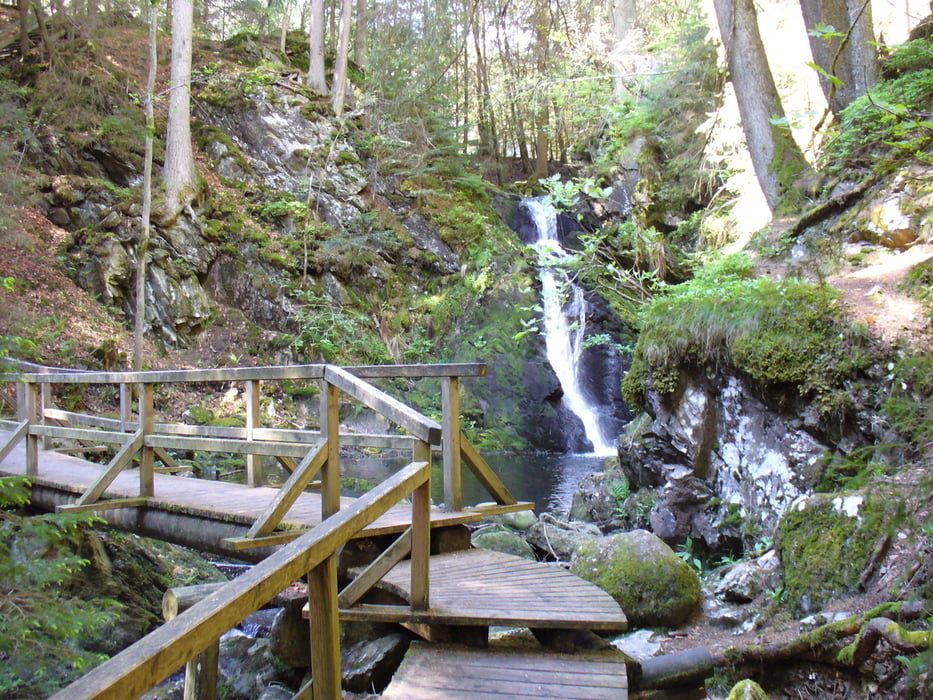
Wanderung von Saig über Falkau zu den Wasserfällen.

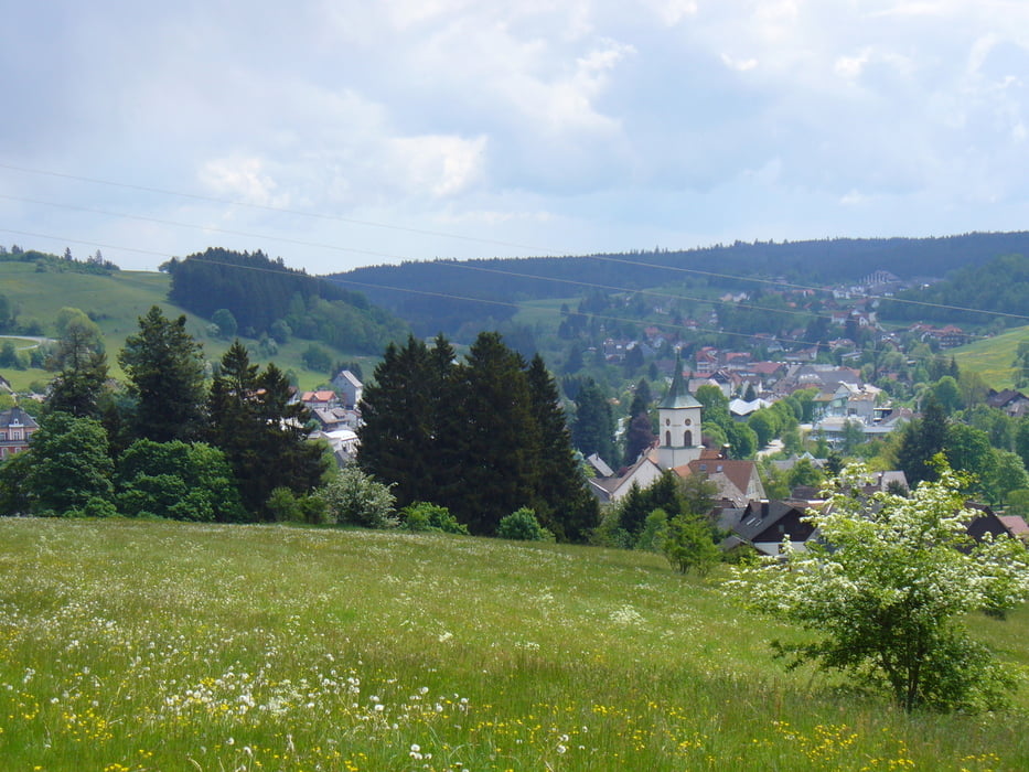
Weiter auf guten Waldwegen nach Lenzkirch, dort gibt es die Möglichkeit  zum Vespern bei der Julius-Schmitt-Hütte (Grillplatz) oder in Gaststätten im Ort.

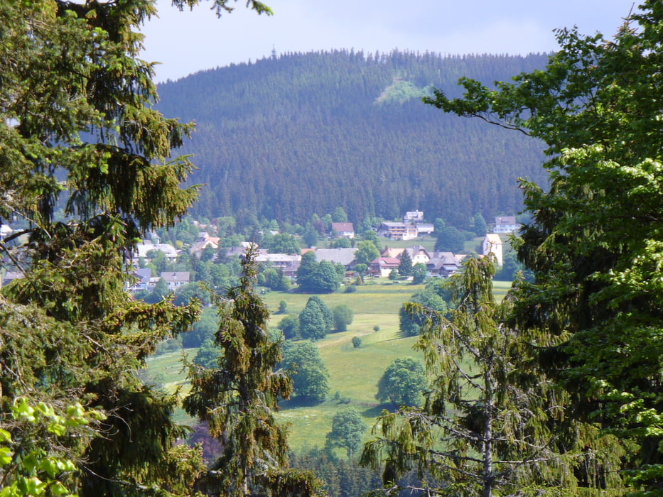
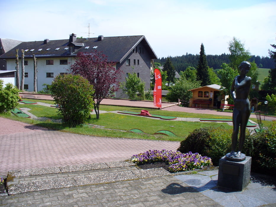
Rückweg über das Hiera-Kreuz nach Saig, zum Abschluß noch eine Runde Minigolf (Kiosk) beim Haus des Gastes.

Further information at

http://www.haus-loni.de

Galeria trasy

Mapa trasy i profil wysokości

  • Open Street Map
  • Google
Minimum height 802 m Maximum height 1015 m Widok szczegółowy

More about the tour author

Arni51
Member since 2011

Send private message

Komentarze

Parkmöglichkeit in der Ortsmitte Saig beim Haus des Gastes.

GPS tracks

Trackpoints
  • GPX / Garmin Map Source (gpx) download
  • TCX / Garmin Training Center® (tcx) download
  • CRS / Garmin Training Center® (crs) download
  • Google Earth (kml) download
  • G7ToWin (g7t) download
  • TTQV (trk) download
  • Overlay (ovl) download
  • Fugawi (txt) download
  • Kompass (DAV) Track (tk) download
  • Karta trasy (pdf) download
  • Original file of the author (gpx) download

More about the tour author

Arni51
Member since 2011

Send private message
Share track
Add to my favorites
Remove from my favorites
Edit tags
My score
Rate
Trasa: Rundweg Saig-Lenzkirch
Rodzaj: Wędrówki
Długość: 17,7 km
Evaluated on:
Czas trwania:
Day(s)
Hour(s)
Minute(s)
Ocena: Krajobraz Czynnik zadowolenia Kondycja Technika