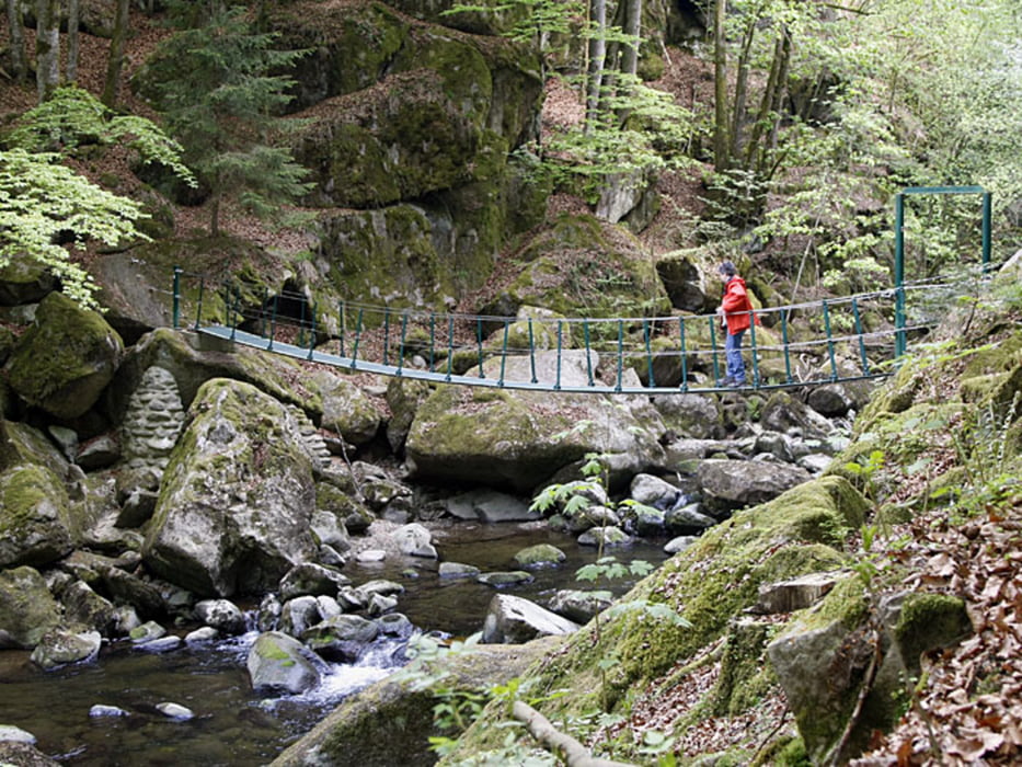
Durch die Buchberger Leite
Schöner Wanderweg. Festes Schuhwerk ist notwendig, da es oft über steinige und wurzelige Wege geht. Zum Teil läuft man an steilen ungesicherten Ufern entlang oder klettert über Felsen. Ein klein wenig Abenteuer das Spaß macht.
Further information at
http://www.wanderseite.net/strecken2011/baywald/tour03/Galeria trasy
Mapa trasy i profil wysokości
Minimum height 408 m
Maximum height 617 m
Komentarze

GPS tracks
Trackpoints-
GPX / Garmin Map Source (gpx) download
-
TCX / Garmin Training Center® (tcx) download
-
CRS / Garmin Training Center® (crs) download
-
Google Earth (kml) download
-
G7ToWin (g7t) download
-
TTQV (trk) download
-
Overlay (ovl) download
-
Fugawi (txt) download
-
Kompass (DAV) Track (tk) download
-
Karta trasy (pdf) download
-
Original file of the author (gpx) download
Add to my favorites
Remove from my favorites
Edit tags
Open track
My score
Rate


