


Hallo,
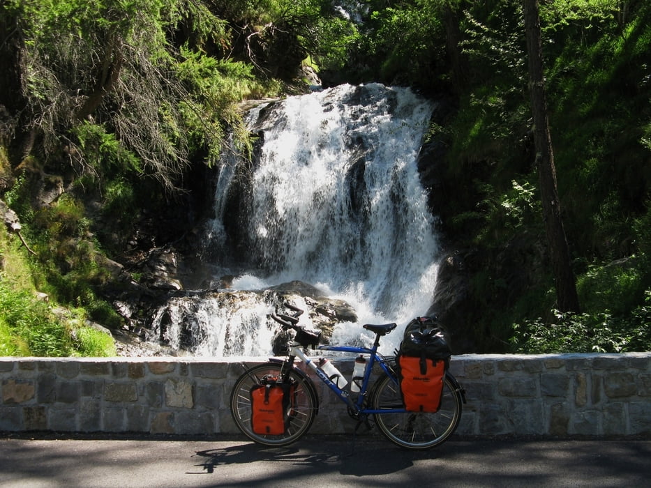
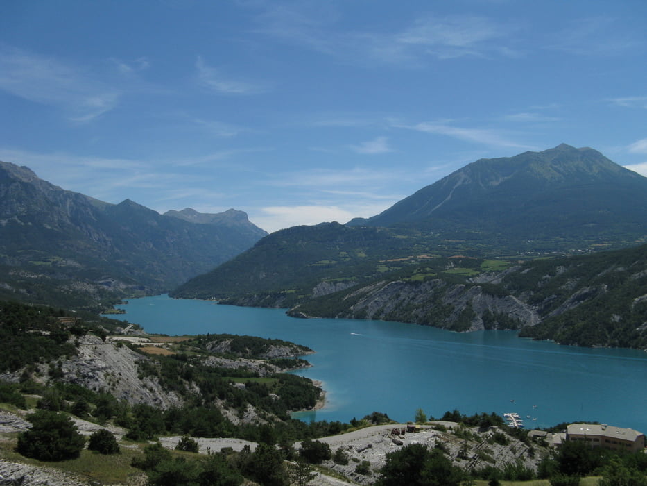
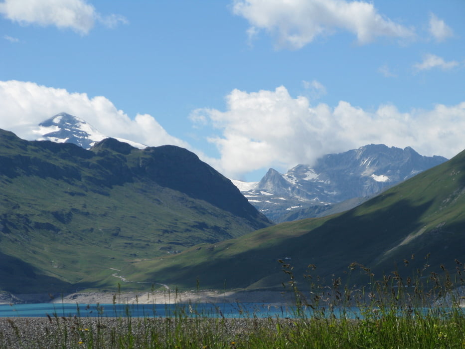
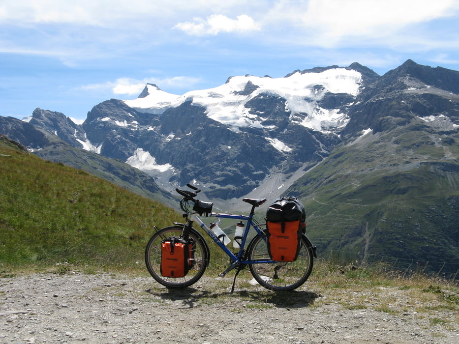
die strecke bin ich mit mein Reiserad 2010 selbst gefahren, und habe sie dabei aufgezeichnet. Gestartet bin ich in Nizza. Es ging duch die Alpenländern Frankreich, Schweiz, Italien, Slowenien, Österreich und Deutschland. Insgesamt 37 Pässe. In Bayern angekommen geht es von Süden der Republick hoch nach NRW.
Eine sehr schöne Tour die man am besten Ende Juli machen sollte.
Viel Spaß beim nachfahren :-)
Bicitour
Further information at
https://picasaweb.google.com/josemaria123435/2207201028082010AlpenuberquerungVonWestNachOstFCHIASLOD?feat=directlinkGaleria trasy
Mapa trasy i profil wysokości
Minimum height 1 m
Maximum height 2814 m
More about the tour author
|
|
Bicitour |
Komentarze

GPS tracks
Trackpoints-
GPX / Garmin Map Source (gpx) download
-
TCX / Garmin Training Center® (tcx) download
-
CRS / Garmin Training Center® (crs) download
-
Google Earth (kml) download
-
G7ToWin (g7t) download
-
TTQV (trk) download
-
Overlay (ovl) download
-
Fugawi (txt) download
-
Kompass (DAV) Track (tk) download
-
Karta trasy (pdf) download
-
Original file of the author (gpx) download
More about the tour author
|
|
Bicitour |
Add to my favorites
Remove from my favorites
Edit tags
Open track
My score
Rate