


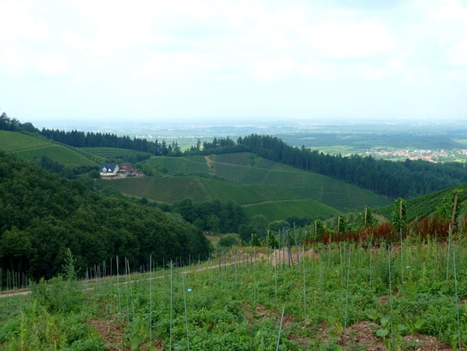
Die Tour führt auf dem Ortenauer Weinpfad durch Weinberge und Wälder am Rande des Schwarzwalds mit schönen Ausblicken in das Rheintal.
Bis vor Offenburg folgt man dem Wanderzeichen des Weinpfads, dann der gelben und später der blauen Raute.
Die Wanderung erfolgt auf befestigten Asphalt- oder Schotterwegen, so dass man sie auch gut bei Nässe unternehmen kann.
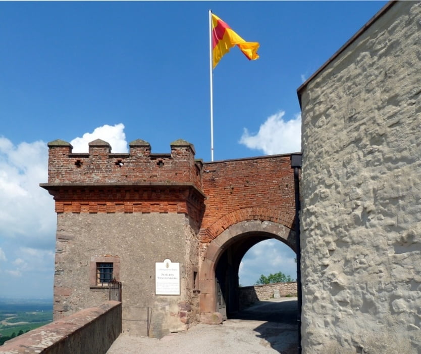
Einkehrmöglichkeiten gibt es z.B. auf Schloss Staufenberg, in Durbach oder dem Schützenhaus Wolfsgrube.
Zurück kann man mit Bahn oder Bus fahren (siehe Anfahrtsbeschreibung).
Further information at
http://www.weinparadies-ortenau.de/ortenauer-weinpfad/Galeria trasy
Mapa trasy i profil wysokości
Minimum height 159 m
Maximum height 362 m
More about the tour author

|
ralley66 |
Komentarze

Zwischen Offenburg und Oberkirch fährt die Ortenau-S-Bahn Linie 718 und die
Buslinie 7137 (Infos auf http://www.ortenaulinie.de und http://www.sweg.de.
Buslinie 7137 (Infos auf http://www.ortenaulinie.de und http://www.sweg.de.
GPS tracks
Trackpoints-
GPX / Garmin Map Source (gpx) download
-
TCX / Garmin Training Center® (tcx) download
-
CRS / Garmin Training Center® (crs) download
-
Google Earth (kml) download
-
G7ToWin (g7t) download
-
TTQV (trk) download
-
Overlay (ovl) download
-
Fugawi (txt) download
-
Kompass (DAV) Track (tk) download
-
Karta trasy (pdf) download
-
Original file of the author (gpx) download
More about the tour author
|
|
ralley66 |
Add to my favorites
Remove from my favorites
Edit tags
Open track
My score
Rate