
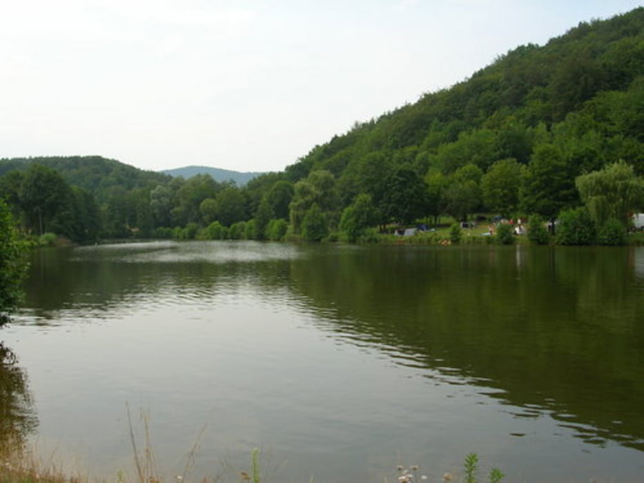

Es handelt sich um die Große Runde der CTF Silz. Die Strecke ist für trainierte MTBler gut zu meistern. Sie stellt an ihn technisch nicht die größte Herausforderung, wenngleich ein Gelegenheitsradler technisch und konditionell an seine Grenzen stoßen kann, da sie ein paar knackige Anstiege und steile Abfahrten beinhaltet.Als Pfälzerwaldliebhaber hat die Strecke ihren eigenen typischen Charme und hat mir sehr viel Spaß gemacht, zumal das Wetter an diesem Sonntagvormittag optimal war. Die Ausschilderung und Organisation dieser CTF war vorbildlich und von netten Leuten organisiert.
Mapa trasy i profil wysokości
Minimum height 209 m
Maximum height 490 m
More about the tour author
|
|
obistone |
Komentarze
GPS tracks
Trackpoints-
GPX / Garmin Map Source (gpx) download
-
TCX / Garmin Training Center® (tcx) download
-
CRS / Garmin Training Center® (crs) download
-
Google Earth (kml) download
-
G7ToWin (g7t) download
-
TTQV (trk) download
-
Overlay (ovl) download
-
Fugawi (txt) download
-
Kompass (DAV) Track (tk) download
-
Karta trasy (pdf) download
-
Original file of the author (gpx) download
More about the tour author
|
|
obistone |
Add to my favorites
Remove from my favorites
Edit tags
Open track
My score
Rate
CTF Silz 2011
eine sehr gute Strecke. Ich suche noch die Tour CTF Silz 2012. Wo kann ich diese erhalten?