


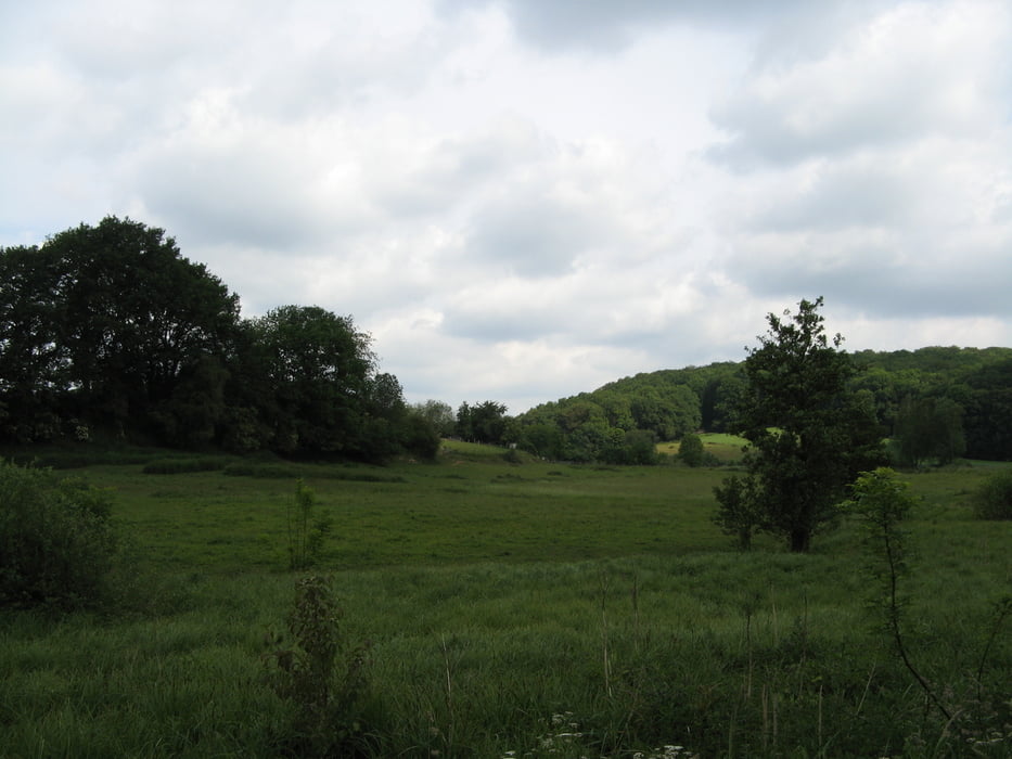
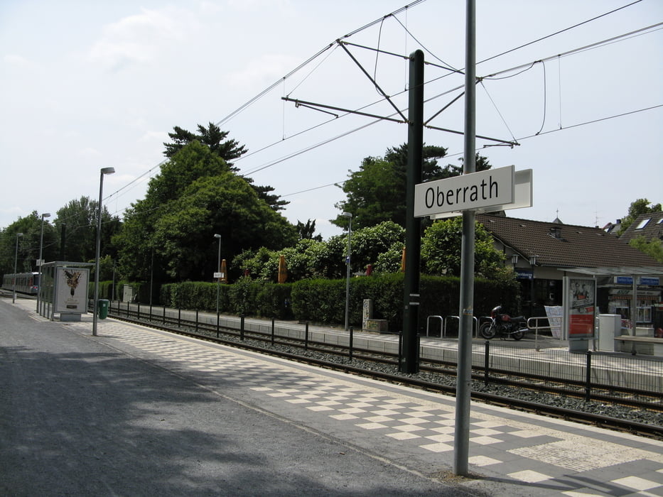
Start ist am Bahnhof in Erkrath. Entlang den Gleisen, dem Pillebach durchs Rotthäuser Tal bis zum Segelflugplatz am Aaper Wald nach Oberrath. Am Ziel bieten sich mehrfache Möglichkeiten der Stärkung. Samstags ist dort auch ein Wochenmarkt.
Geochacher finden entlang der Route auch einige Caches.
Galeria trasy

Mapa trasy i profil wysokości
Minimum height 50 m
Maximum height 124 m
More about the tour author

|
704Tom |
Komentarze

Der Erkrather Bahnhof ist mit der S-Bahn S8 zu erreichen.
Von Oberrath aus kann man mit der Straßenbahn 712 Richtung Ratigen oder Richtung Volmerswerth fahren.
Der Rather Bahnhof ist auch nicht mehr weit weg. Von dort aus kann man mit der S-Bahn S6 in Richtung Essen oder Düsseldorfr Hbf fahren.
GPS tracks
Trackpoints-
GPX / Garmin Map Source (gpx) download
-
TCX / Garmin Training Center® (tcx) download
-
CRS / Garmin Training Center® (crs) download
-
Google Earth (kml) download
-
G7ToWin (g7t) download
-
TTQV (trk) download
-
Overlay (ovl) download
-
Fugawi (txt) download
-
Kompass (DAV) Track (tk) download
-
Karta trasy (pdf) download
-
Original file of the author (gpx) download
More about the tour author
|
|
704Tom |
Add to my favorites
Remove from my favorites
Edit tags
Open track
My score
Rate