


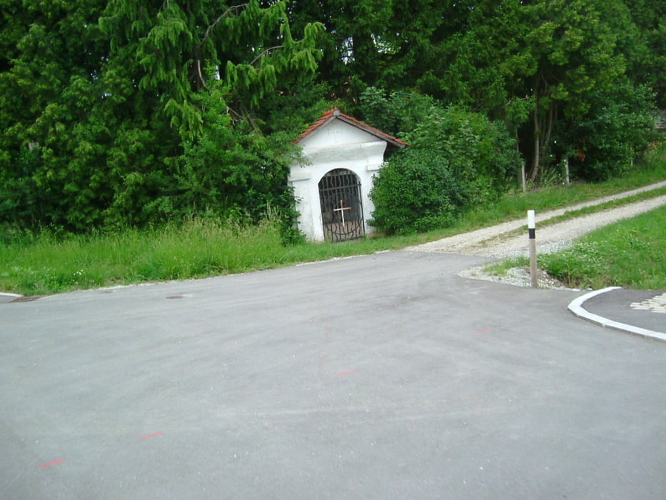
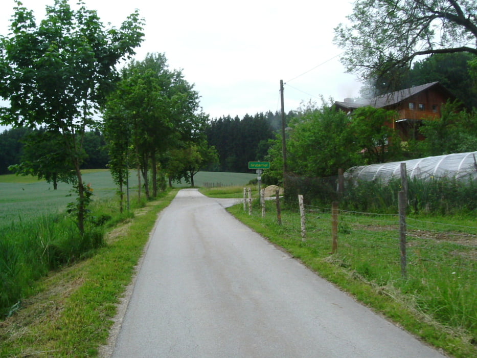
Rundtour von DGF, Heimlichleiden, Oberbubach, Auffahrt zum Stadtwald, neuer Radweg im Weilnbachtal, Frichlkofen, Tichling, Reitholz, Untergünzkofen, Griesbach, Gablkofen, Schmidlkofen, Wunder, Gruberhof, Birnthal, Aigen, neuer Kreisverkehr, neuer Radweg zurück nach DGF.
wenig Asphaltwege, kaum Straßen mit Autoverkehr.
Start-/Zielpunkt DGF, Bolzplatz am Brunnerfeld
keine Einkehrmöglichkeit auf der Tour gefunden.
Galeria trasy


Mapa trasy i profil wysokości
Minimum height 385 m
Maximum height 495 m
More about the tour author
|
|
charly60 |
Komentarze

Dingolfing, Frontenhausener Str., Abzweig berauf bzw. Richtung Westen in Ringstraße, weiter bergauf bis Parkplatz am Bolzplatz. Westseite Brunnerfeld II
GPS tracks
Trackpoints-
GPX / Garmin Map Source (gpx) download
-
TCX / Garmin Training Center® (tcx) download
-
CRS / Garmin Training Center® (crs) download
-
Google Earth (kml) download
-
G7ToWin (g7t) download
-
TTQV (trk) download
-
Overlay (ovl) download
-
Fugawi (txt) download
-
Kompass (DAV) Track (tk) download
-
Karta trasy (pdf) download
-
Original file of the author (gpx) download
More about the tour author
|
|
charly60 |
Add to my favorites
Remove from my favorites
Edit tags
Open track
My score
Rate