


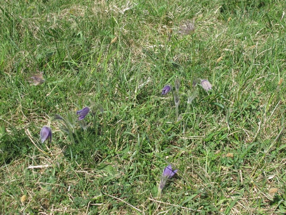
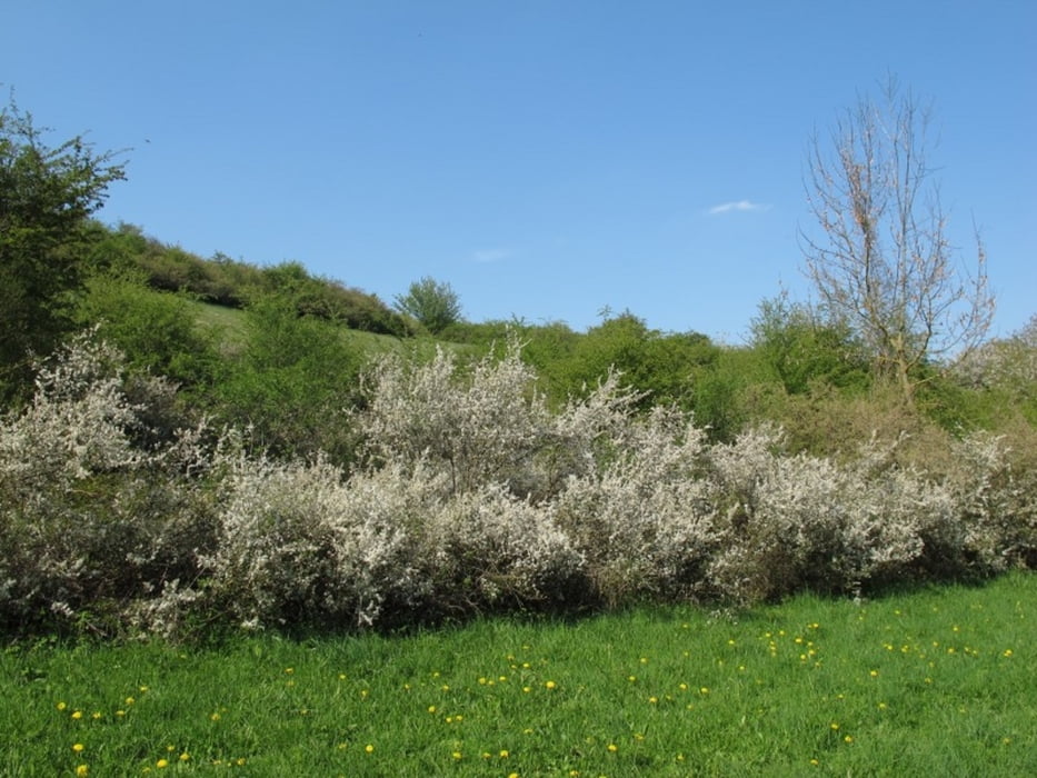
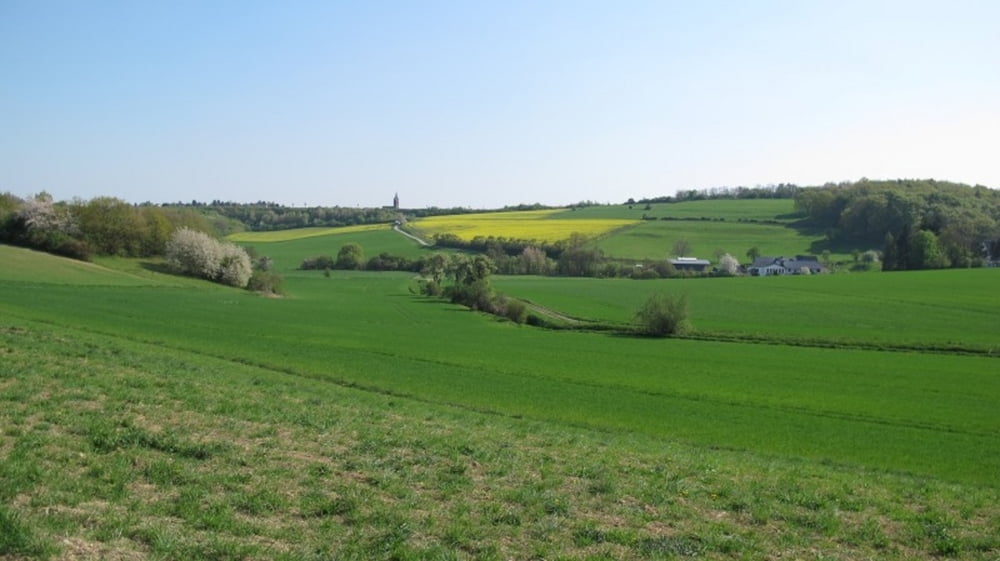
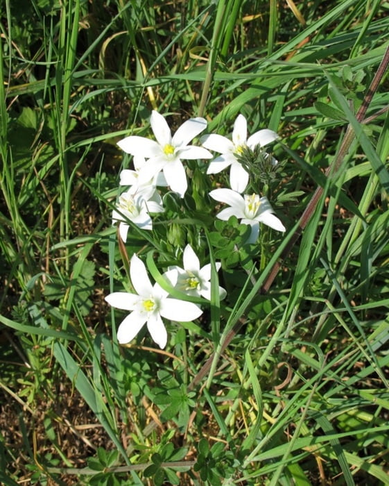
Vom Parkplatz führt der Weg zunächst schnell zum Antoniushäuschen. Es ist Brauch, nach dem Gebet die Glocke zu läuten. Weiter geht es auf einem Höhenweg bis kurz vor Berg. Unterwegs ergeben sich weite Ausblicke in die Zülpicher Börde. Eine Bank lädt zur Pause ein, bevor der Rückweg hinab in ein Tal (Naturschutzgebiet) führt. Im Frühjahr findet man überall entlang der Strecke viele Blumen wie zum Beispiel Küchenschellen und Himmelsschlüssel.
Galeria trasy
Mapa trasy i profil wysokości
Minimum height 199 m
Maximum height 303 m
More about the tour author
|
|
MaillotBlanc |
Komentarze

Von Zülpich über die B56 in Richtung Düren, dann inks abbiegen auf die K82 nach Embken, dort über die Liebergstraße mitten durch den Ort, dann geradeaus in die Sankt-Antoius-Straße bis zum Sportplatz, wo man rechts einen Parkplatz findet.
GPS tracks
Trackpoints-
GPX / Garmin Map Source (gpx) download
-
TCX / Garmin Training Center® (tcx) download
-
CRS / Garmin Training Center® (crs) download
-
Google Earth (kml) download
-
G7ToWin (g7t) download
-
TTQV (trk) download
-
Overlay (ovl) download
-
Fugawi (txt) download
-
Kompass (DAV) Track (tk) download
-
Karta trasy (pdf) download
-
Original file of the author (gpx) download
More about the tour author
|
|
MaillotBlanc |
Add to my favorites
Remove from my favorites
Edit tags
Open track
My score
Rate