Login

Zapomniałeś swój login?

Cookies have to be accepted!
Your browser's cookie functionality is disabled. Please enable this functionality.

Not a member yet?

Register now
Login

Available for registred users only

Log in to use this feature.

Zapomniałeś swój login?

Cookies have to be accepted!
Your browser's cookie functionality is disabled. Please enable this functionality.

Not a member yet?

Register now
Filter
Kategorie
Advanced filters
  • Długość (km)
  • Wysokość
Zapisz filtr Reset filter

TrackRank

QRCode

Technical data

Długość59,0 km Wysokość682 m Way down684 m Czas trwania03:08 h:m Data04.06.2011
Oceny Author User Krajobraz Czynnik zadowolenia Kondycja Technika

Statystyka

745 Widoki 5 Oceny 151 Downloads / Pliki do pobrania 3.20 Przeciętnie
Rate
  • Karta trasy
  • Dojazd
  • Downloads / Pliki do pobrania
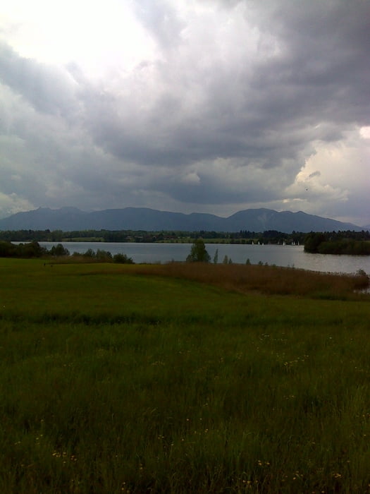
Von Bad Heilbrunn (Vitarea) über Obersteinbach, den Steinbach entlang nach Bichl, Loisach aufwärts, über Sindelsdorf zum Kiniberg. Dort einige steile Passagen (insg. 350 hm), dann weiter zum Riegsee. Auf angenehmen Wegen und landschaftlich schön über Habaching, Riedern, Penzberg, Reindlschmiede und Ramsau zurück nach Bad Heilbrunn.

Galeria trasy

Mapa trasy i profil wysokości

  • Open Street Map
  • Google
Minimum height 501 m Maximum height 788 m Widok szczegółowy

More about the tour author

JoHoe
Member since 2011

Send private message

Komentarze

Hapi48 on 01.09.2011

Bewertung

Hallo JoHoe,

für mich als älterer Biker war es eine wunderbare Tour.
Nicht zu schwer und mit herrlicher Landschaft.
Einfach super. GPS-Daten einwandfrei.

Herzliche Grüße
Hapi48

GPS tracks

Trackpoints
  • GPX / Garmin Map Source (gpx) download
  • TCX / Garmin Training Center® (tcx) download
  • CRS / Garmin Training Center® (crs) download
  • Google Earth (kml) download
  • G7ToWin (g7t) download
  • TTQV (trk) download
  • Overlay (ovl) download
  • Fugawi (txt) download
  • Kompass (DAV) Track (tk) download
  • Karta trasy (pdf) download
  • Original file of the author (gpx) download

More about the tour author

JoHoe
Member since 2011

Send private message
Share track
Add to my favorites
Remove from my favorites
Edit tags
My score
Rate
Trasa: Bad Heilbrunn > Kiniberg > Riegsee und zurück
Rodzaj: Rower górski (MTB)
Długość: 59,0 km
Evaluated on:
Czas trwania:
Day(s)
Hour(s)
Minute(s)
Ocena: Krajobraz Czynnik zadowolenia Kondycja Technika