


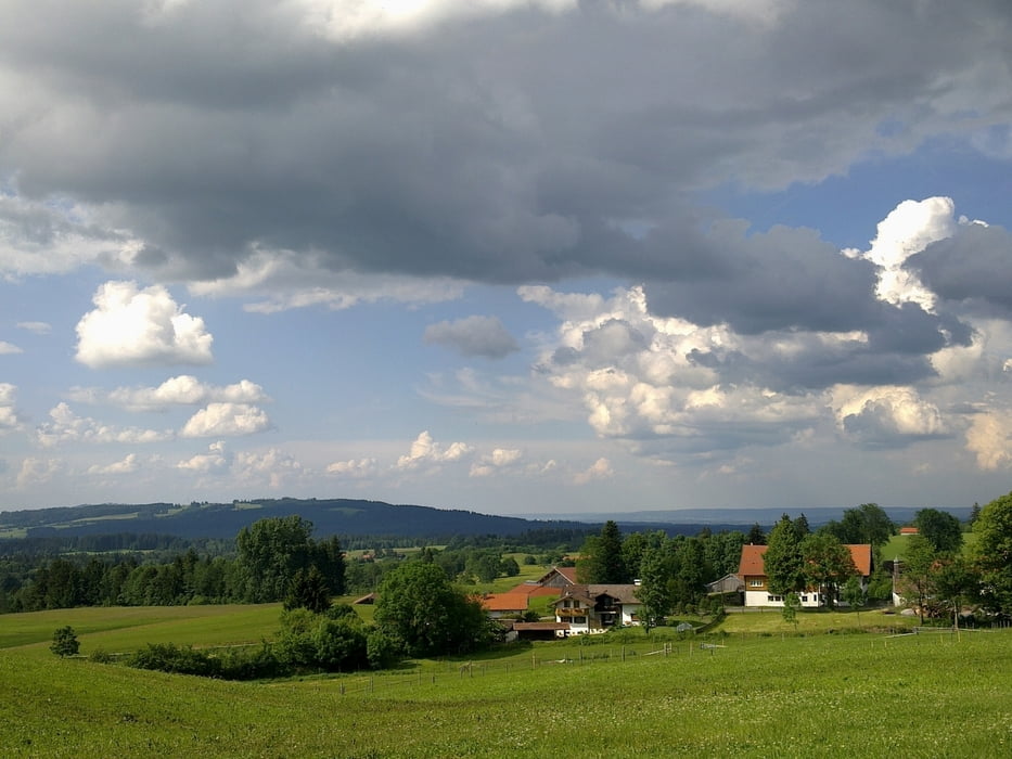
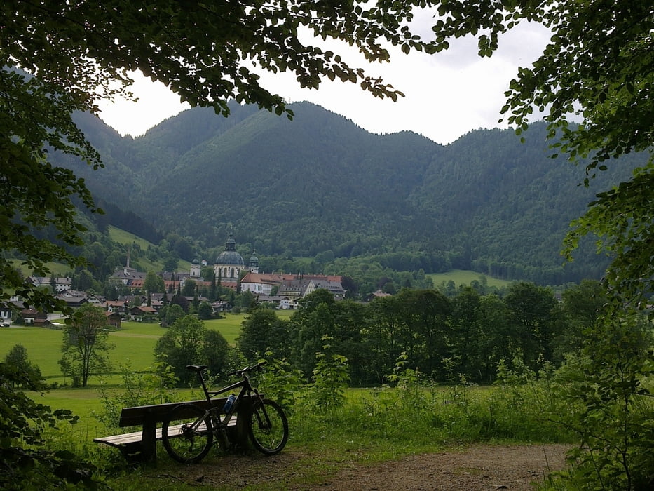
Die Tour führt von Grafenaschau auf dem Bodensee-Königsee-Radweg bis Bad Kohlgrub immer leicht ansteigend. In Bad Kohlgrub geht es am Fuße des Hörnle kurz steil bergau und weiter nach Altenau, Oberammergau und Ettal. Kurz hinter Ettal wirds recht steil runter nach Oberau. Von dort gehts immer die Loisach entlang bis Eschenlohe und von dort wieder auf dem B-K-Radweg zurück nach Grafenaschau.
Die Tour ist insgesamt nicht sehr anstrengend und erfordert keine großen technischen Fähigkeiten. Bis auf den Anstieg in Bad Kohlgrub verläuft die Tour recht entspannt. Die Abfahrt von Ettal nach Oberau könnte für manchen etwas anstrengend sein, da sie steil und mit viel Schotter bedeckt ist.
Galeria trasy

Mapa trasy i profil wysokości
Minimum height 625 m
Maximum height 948 m
More about the tour author

|
peteraldi |
Komentarze

Von München über die A95 in Richtung Garmisch. Am Ende der Ausfahrt Eschenlohe rechts abbiegen und die kleine Straße bis Grafenaschau fahren. Dort entweder direkt parken oder auf der Straße bleibend durch den Ort fahren und den ersten Weg nach dm Ortsausgangsschld rechts abbiegen und dort auf dem Parkplat parken.
GPS tracks
Trackpoints-
GPX / Garmin Map Source (gpx) download
-
TCX / Garmin Training Center® (tcx) download
-
CRS / Garmin Training Center® (crs) download
-
Google Earth (kml) download
-
G7ToWin (g7t) download
-
TTQV (trk) download
-
Overlay (ovl) download
-
Fugawi (txt) download
-
Kompass (DAV) Track (tk) download
-
Karta trasy (pdf) download
-
Original file of the author (gpx) download
More about the tour author
|
|
peteraldi |
Add to my favorites
Remove from my favorites
Edit tags
Open track
My score
Rate