


Von Gilching aus geht es über Landstraßen in Richtung Starnberg. Dort geht es erstmal steil Berg ab (den Berg sollte man sich im Hinterkopf behalten denn am Ende der Runde geht es genau hier wieder hinauf).
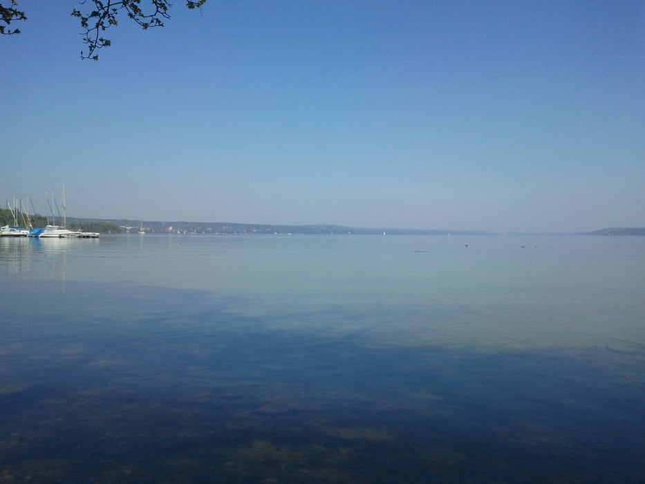
Nun geht es von Starnberg aus bis auf Höhe Pöcking auf der Landstraße entlang, dann führt ein Radweg zum See. Dieser Radweg führt jetzt einmal um den See herum, teils asphaltiert, teils steinig.
In Starnberg wieder angekommen geht es auf Radwegen durch die Stadt, den Berg hinauf und wieder über Landstraßen zurück nach Gilching.
Galeria trasy

Mapa trasy i profil wysokości
Minimum height 547 m
Maximum height 726 m
More about the tour author

|
alexdohni |
Komentarze

GPS tracks
Trackpoints-
GPX / Garmin Map Source (gpx) download
-
TCX / Garmin Training Center® (tcx) download
-
CRS / Garmin Training Center® (crs) download
-
Google Earth (kml) download
-
G7ToWin (g7t) download
-
TTQV (trk) download
-
Overlay (ovl) download
-
Fugawi (txt) download
-
Kompass (DAV) Track (tk) download
-
Karta trasy (pdf) download
-
Original file of the author (gpx) download
More about the tour author
|
|
alexdohni |
Add to my favorites
Remove from my favorites
Edit tags
Open track
My score
Rate