Login

Zapomniałeś swój login?

Cookies have to be accepted!
Your browser's cookie functionality is disabled. Please enable this functionality.

Not a member yet?

Register now
Login

Available for registred users only

Log in to use this feature.

Zapomniałeś swój login?

Cookies have to be accepted!
Your browser's cookie functionality is disabled. Please enable this functionality.

Not a member yet?

Register now
Filter
Kategorie
Advanced filters
  • Długość (km)
  • Wysokość
Zapisz filtr Reset filter

TrackRank

QRCode

Technical data

Długość38,9 km Wysokość707 m Way down721 m Czas trwania02:20 h:m Data05.06.2011
Oceny Author Krajobraz Czynnik zadowolenia Kondycja Technika

Statystyka

538 Widoki Oceny 43 Downloads / Pliki do pobrania Przeciętnie
Rate
  • Karta trasy
  • Dojazd
  • Downloads / Pliki do pobrania

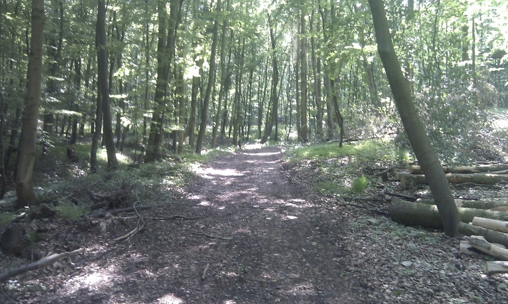
Von Hildesheim durch den Wald bis zur Börde.

Dort gleich wieder in Wald bis kurz vor Heersum.

Dann ein kurzes Stück Strasse bis Hockeln und wieder in Wald bis Bad Salzdetfurth.

Jetzt sollte es eigentlich weiter in Wald bis Diekholzen gehen. Allerdings reichte heute die Zeit nicht aus.

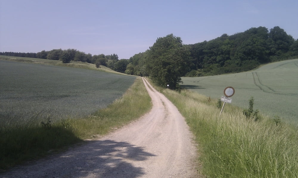
Von Badze gemütlich durch die Felder zurück nach Hildesheim.
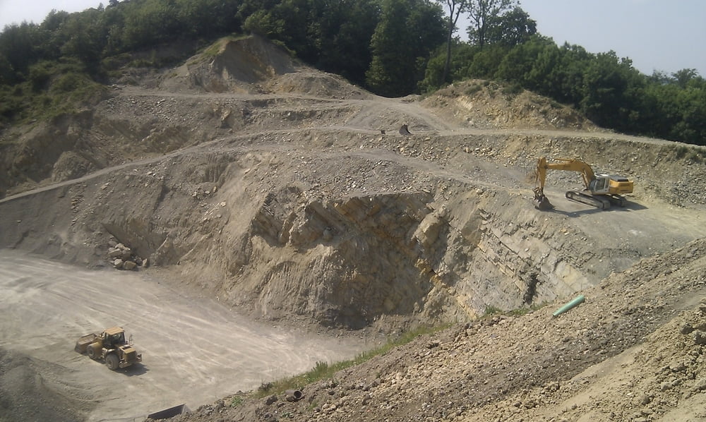
Galeria trasy

Mapa trasy i profil wysokości

  • Open Street Map
  • Google
Minimum height 123 m Maximum height 354 m Widok szczegółowy

More about the tour author

Fellfresse
Member since 2010

Send private message

Komentarze

GPS tracks

Trackpoints
  • GPX / Garmin Map Source (gpx) download
  • TCX / Garmin Training Center® (tcx) download
  • CRS / Garmin Training Center® (crs) download
  • Google Earth (kml) download
  • G7ToWin (g7t) download
  • TTQV (trk) download
  • Overlay (ovl) download
  • Fugawi (txt) download
  • Kompass (DAV) Track (tk) download
  • Karta trasy (pdf) download
  • Original file of the author (gpx) download

More about the tour author

Fellfresse
Member since 2010

Send private message
Share track
Add to my favorites
Remove from my favorites
Edit tags
My score
Rate
Trasa: Hildesheim - Börde - Hockeln - Badze- Hildesheim
Rodzaj: Rower górski (MTB)
Długość: 38,9 km
Evaluated on:
Czas trwania:
Day(s)
Hour(s)
Minute(s)
Ocena: Krajobraz Czynnik zadowolenia Kondycja Technika