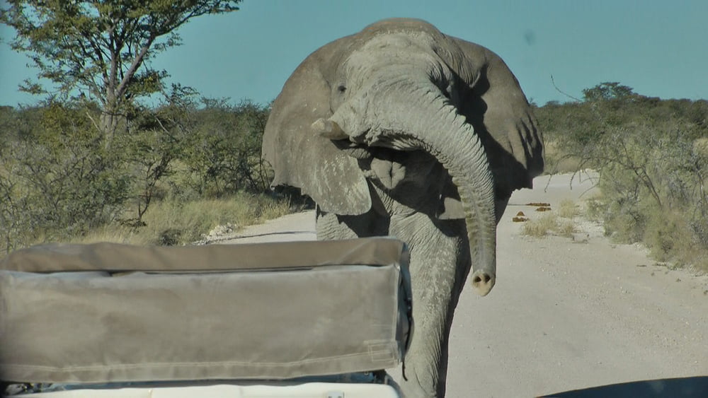
Die Straßen / Wege sind zu 3/4 Schotter bzw. Sandpisten für 4x4 Fahrzeuge (wir haben diese mit einem Bus abgefahren) deshalb stelle ich die Tour in der Kategorie ATV-Quad ein.
Da nur max. 3.000 Trackpunkte möglich sind, musste ich den Track teilen.
Weiter Beschreibung – ist in Arbeit.
www.gondwana-collection.com/de/home/
Further information at
http://de.wikipedia.org/wiki/NamibiaGaleria trasy
Mapa trasy i profil wysokości
Minimum height 15 m
Maximum height 1710 m
Komentarze

Nachtflug mit Air Namibia von Frankfurt / Main nach Windhoek.
GPS tracks
Trackpoints-
GPX / Garmin Map Source (gpx) download
-
TCX / Garmin Training Center® (tcx) download
-
CRS / Garmin Training Center® (crs) download
-
Google Earth (kml) download
-
G7ToWin (g7t) download
-
TTQV (trk) download
-
Overlay (ovl) download
-
Fugawi (txt) download
-
Kompass (DAV) Track (tk) download
-
Karta trasy (pdf) download
-
Original file of the author (gpx) download
Add to my favorites
Remove from my favorites
Edit tags
Open track
My score
Rate


