Login

Zapomniałeś swój login?

Cookies have to be accepted!
Your browser's cookie functionality is disabled. Please enable this functionality.

Not a member yet?

Register now
Login

Available for registred users only

Log in to use this feature.

Zapomniałeś swój login?

Cookies have to be accepted!
Your browser's cookie functionality is disabled. Please enable this functionality.

Not a member yet?

Register now
Filter
Kategorie
Advanced filters
  • Długość (km)
  • Wysokość
Zapisz filtr Reset filter

TrackRank

QRCode

Technical data

Długość36,5 km Wysokość804 m Way down781 m Czas trwania04:00 h:m Data10.06.2011
Oceny Author Krajobraz Czynnik zadowolenia Kondycja Technika

Statystyka

1073 Widoki Oceny 156 Downloads / Pliki do pobrania Przeciętnie
Rate
  • Karta trasy
  • Dojazd
  • Downloads / Pliki do pobrania

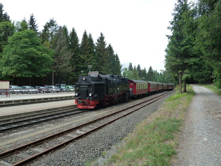
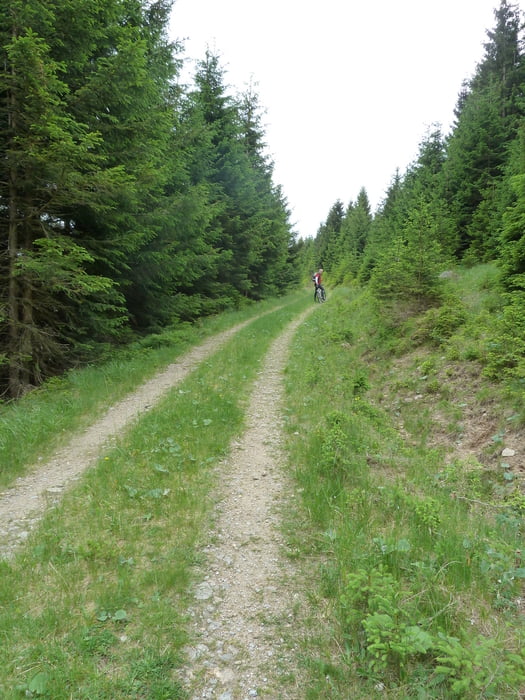
 Erst einmal geht es relativ gemächlich von Braunlage über Elend nach Schierke. Oberhalb von Schierke, parallel zur Bahnstrecke ein recht steiniger Weg, ebenfalls geringe Steigung.

Nach schneller Abfahrt Richtung Schierke geht es unterhalb des Winterberg aufwärts zum Wurmberg mit teilweise recht steilen Anstiegen.

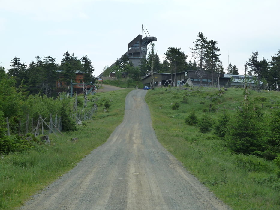
Die abschließende Abfahrt Richtung Braunlage hebt den "Tagesgeschwindigkeitschnitt" erheblich...

Galeria trasy

Mapa trasy i profil wysokości

  • Open Street Map
  • Google
Minimum height 496 m Maximum height 974 m Widok szczegółowy

More about the tour author

heikes
Member since 2009

Send private message

Komentarze

GPS tracks

Trackpoints
  • GPX / Garmin Map Source (gpx) download
  • TCX / Garmin Training Center® (tcx) download
  • CRS / Garmin Training Center® (crs) download
  • Google Earth (kml) download
  • G7ToWin (g7t) download
  • TTQV (trk) download
  • Overlay (ovl) download
  • Fugawi (txt) download
  • Kompass (DAV) Track (tk) download
  • Karta trasy (pdf) download
  • Original file of the author (gpx) download

More about the tour author

heikes
Member since 2009

Send private message
Share track
Add to my favorites
Remove from my favorites
Edit tags
My score
Rate
Trasa: Braunlage - Elend - Schierke - Wurmberg - Braunlage
Rodzaj: Rower górski (MTB)
Długość: 36,5 km
Evaluated on:
Czas trwania:
Day(s)
Hour(s)
Minute(s)
Ocena: Krajobraz Czynnik zadowolenia Kondycja Technika