

Zuerst die Forststraße entlang, kurz links bergauf bis recht ein Wegweiser zum Klettersteig-Einstieg zeigt. Dort wieder rechts hinunter und dem rutschigen Pfad hinunnter folgen bis man unter der Kapfwand zum Einstieg des Kessi kommt. Dort 200 m weiter bis zum Einstiegsbaum des Kapf. Der Klettersteig geht senkrecht hinauf, ist sehr gut gesichert und mit Trittstiften ausgestattet. Beim Ausstieg den Pfad hinunter , beim Kessi-Ausstieg vorbei zum Ausgangspunkt folgen, oder leicht linkshaltend zum GH Spallenhof.
Man kann auch den Kessi im Abstieg gehen und dann den Kapf hinauf
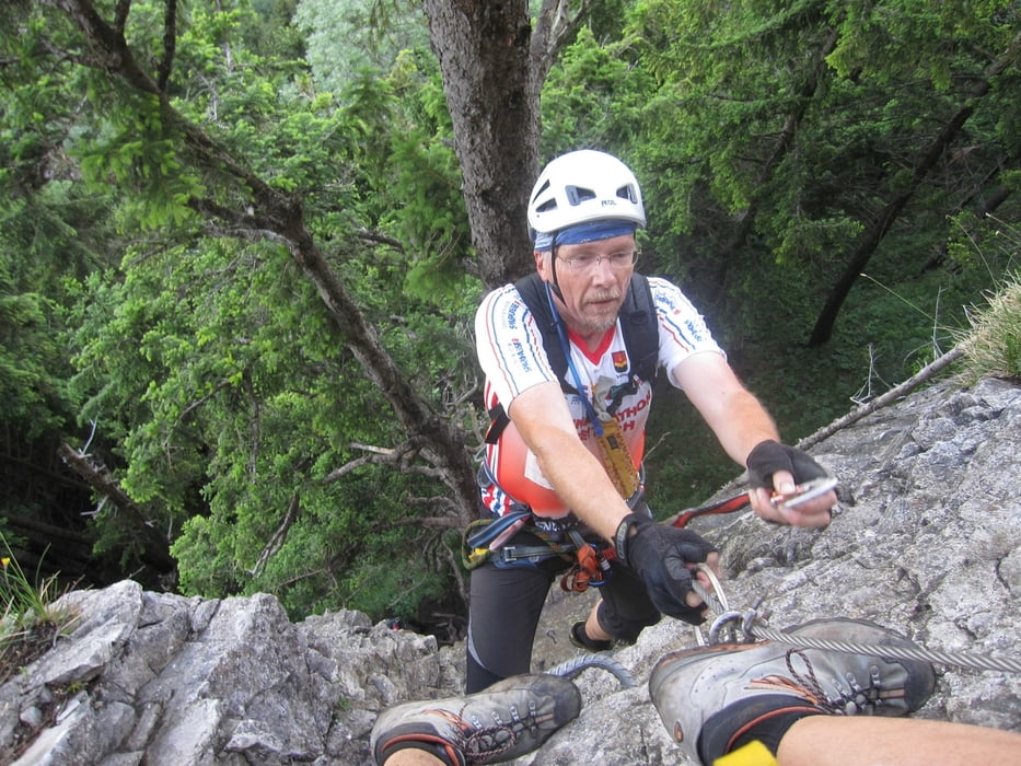
Galeria trasy


Mapa trasy i profil wysokości
Minimum height 968 m
Maximum height 1132 m
More about the tour author
|
|
renrew |
Komentarze

Autobahnabfahrt A14 Götzis. Bei der Kirche Richtung Schwimmbad und weiter über Meschach bis zum Parkplatz 200m vor dem GH Spallenhof.
GPS tracks
Trackpoints-
GPX / Garmin Map Source (gpx) download
-
TCX / Garmin Training Center® (tcx) download
-
CRS / Garmin Training Center® (crs) download
-
Google Earth (kml) download
-
G7ToWin (g7t) download
-
TTQV (trk) download
-
Overlay (ovl) download
-
Fugawi (txt) download
-
Kompass (DAV) Track (tk) download
-
Karta trasy (pdf) download
-
Original file of the author (gpx) download
More about the tour author
|
|
renrew |
Add to my favorites
Remove from my favorites
Edit tags
Open track
My score
Rate