


Nach Start in der Falkenstraße zum Zweitstart Jugendheimplatz: Über Langenscheid Ri. Dicksiepen und Schlechtenbach bis zur L 868, dann Ri. Schalksmühle, die Bergstraße hoch bis zur Friedhofstraße, dann Ri. Dahlerbrück, Die Glörstraße hoch bis zur Fa. Reiffert, dort li.auf den schönen Singletrail bis bis Glör, über Wanderwege durch Wald und Wiese bis Glörfeld, weiter bis Magdheide und Heerenfelde im Tal re. in den Wald und hoch auf die Straße nach Krausebuche, sofort wieder li. in das Waldgebiet und runter nach Nieder Hürxtal. Von dort über die Elberfelder Straße zur "Neustadt".
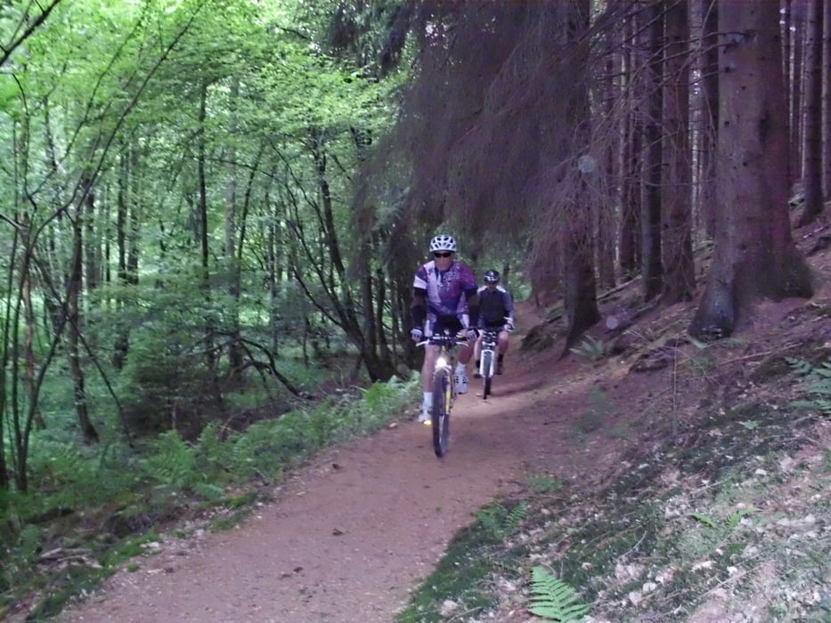
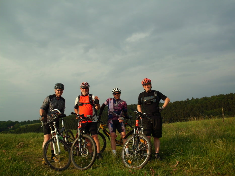
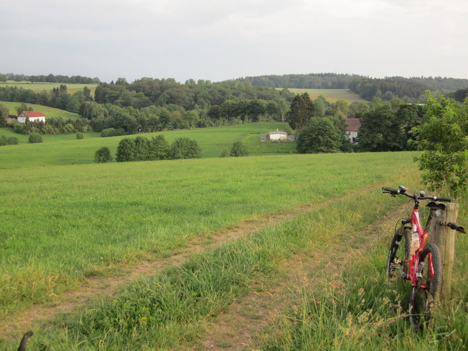
Mittwochs-Feierabendtour mit schönen Ausblicken, einen technisch relativ für unsere Verhältnisse schweren Singletrail und einem kühlen Weizenbier zum Abschluss.
Galeria trasy

Mapa trasy i profil wysokości
Minimum height 213 m
Maximum height 433 m
More about the tour author
|
|
neuser |
Komentarze

B 229 im Eichholz Ri. Stadtmitte (Jugendheimplatz)
GPS tracks
Trackpoints-
GPX / Garmin Map Source (gpx) download
-
TCX / Garmin Training Center® (tcx) download
-
CRS / Garmin Training Center® (crs) download
-
Google Earth (kml) download
-
G7ToWin (g7t) download
-
TTQV (trk) download
-
Overlay (ovl) download
-
Fugawi (txt) download
-
Kompass (DAV) Track (tk) download
-
Karta trasy (pdf) download
-
Original file of the author (gpx) download
More about the tour author
|
|
neuser |
Add to my favorites
Remove from my favorites
Edit tags
Open track
My score
Rate