Login

Zapomniałeś swój login?

Cookies have to be accepted!
Your browser's cookie functionality is disabled. Please enable this functionality.

Not a member yet?

Register now
Login

Available for registred users only

Log in to use this feature.

Zapomniałeś swój login?

Cookies have to be accepted!
Your browser's cookie functionality is disabled. Please enable this functionality.

Not a member yet?

Register now
Filter
Kategorie
Advanced filters
  • Długość (km)
  • Wysokość
Zapisz filtr Reset filter

TrackRank

QRCode

Technical data

Długość40,5 km Wysokość0 m Way down0 m Czas trwania03:00 h:m Data18.06.2011
Oceny Author Krajobraz Czynnik zadowolenia Kondycja Technika

Statystyka

303 Widoki Oceny 48 Downloads / Pliki do pobrania Przeciętnie
Rate
  • Karta trasy
  • Dojazd
  • Downloads / Pliki do pobrania

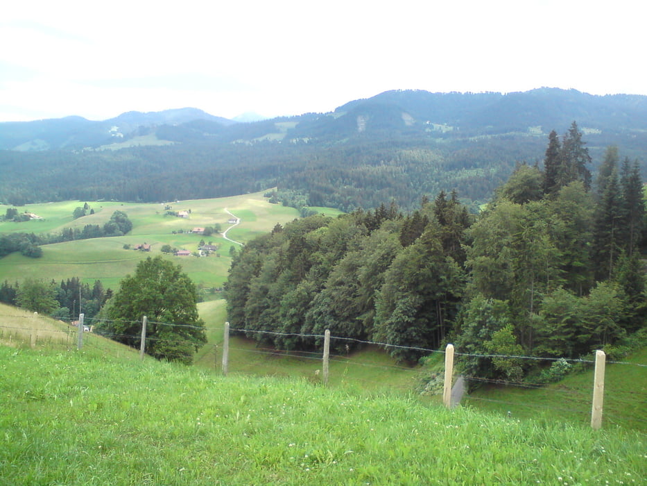
Diese Tour startet in Schwarzenburg an der Sportanlage. Sie befindet sich westlich des Bahnhofs.

Von dort startet die Tour und führt hinter dem Sportplatz herunter am Rüschegg Graben  antlang.

In der Tour sind am Anfang einige "Suchpfade" drin, da der Verlauf nicht ganz klar war.


Galeria trasy

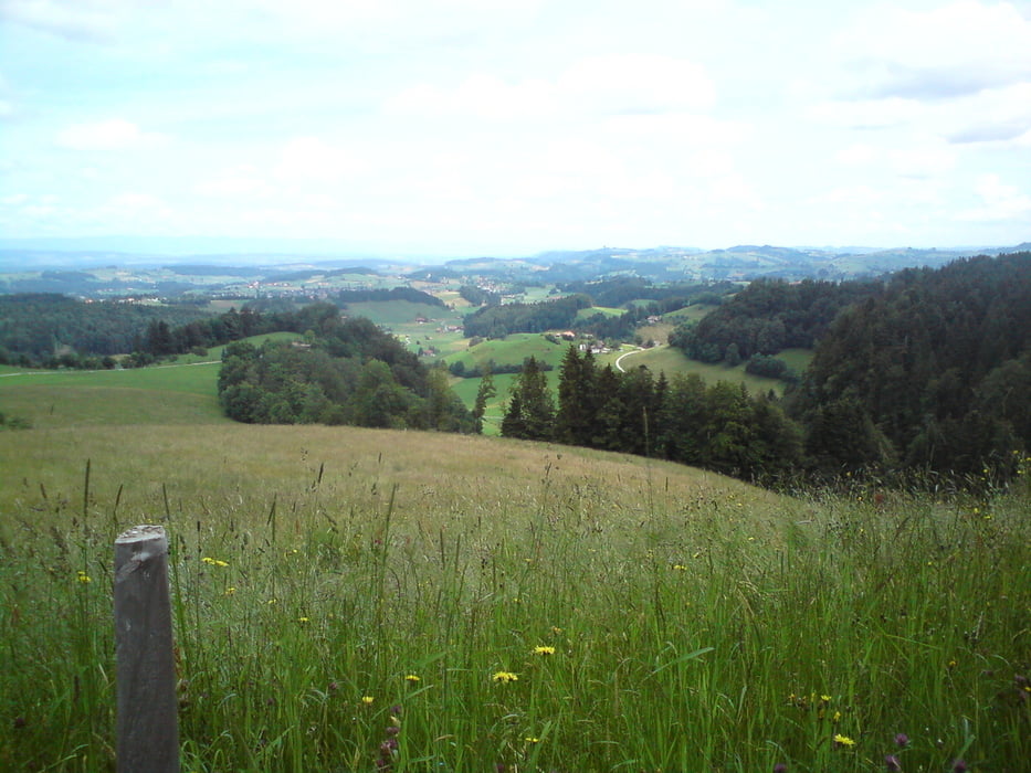
Mapa trasy i profil wysokości

  • Open Street Map
  • Google
Minimum height 99999 m Maximum height -99999 m Widok szczegółowy

More about the tour author

ziploader
Member since 2006

Send private message

Komentarze

Mit den ÖV bis Schwarzenburg bahnhof. Von nach Westen bis zum Ortsrand und dem Sportplatz.


GPS tracks

Trackpoints
  • GPX / Garmin Map Source (gpx) download
  • TCX / Garmin Training Center® (tcx) download
  • CRS / Garmin Training Center® (crs) download
  • Google Earth (kml) download
  • G7ToWin (g7t) download
  • TTQV (trk) download
  • Overlay (ovl) download
  • Fugawi (txt) download
  • Kompass (DAV) Track (tk) download
  • Karta trasy (pdf) download
  • Original file of the author (gpx) download

More about the tour author

ziploader
Member since 2006

Send private message
Share track
Add to my favorites
Remove from my favorites
Edit tags
My score
Rate
Trasa: S2 Challange 2010
Rodzaj: Rower górski (MTB)
Długość: 40,5 km
Evaluated on:
Czas trwania:
Day(s)
Hour(s)
Minute(s)
Ocena: Krajobraz Czynnik zadowolenia Kondycja Technika