Login

Zapomniałeś swój login?

Cookies have to be accepted!
Your browser's cookie functionality is disabled. Please enable this functionality.

Not a member yet?

Register now
Login

Available for registred users only

Log in to use this feature.

Zapomniałeś swój login?

Cookies have to be accepted!
Your browser's cookie functionality is disabled. Please enable this functionality.

Not a member yet?

Register now
Filter
Kategorie
Advanced filters
  • Długość (km)
  • Wysokość
Zapisz filtr Reset filter

TrackRank

QRCode

Technical data

Długość37,7 km Wysokość879 m Way down774 m Czas trwania03:00 h:m Data18.06.2011
Oceny Author Krajobraz Czynnik zadowolenia Kondycja Technika

Statystyka

615 Widoki 1 Ocena 63 Downloads / Pliki do pobrania 4.00 Przeciętnie
Rate
  • Karta trasy
  • Dojazd
  • Downloads / Pliki do pobrania

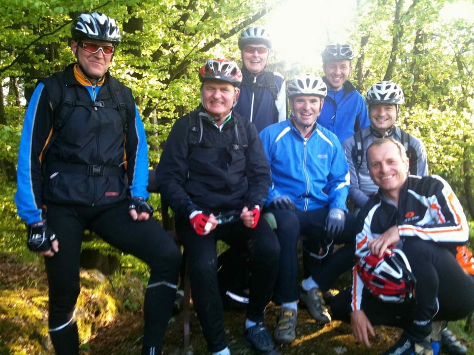
Torurguide war diesmal Klaus (12.06.2011)

Eine wunderschöne aber auch anspruchsvolle Tour nach Gallneukirchen, Veitsdorf, Gerbersdorf, Steinbach und wieder zurück über Riedegg nach Katsdorf.


Galeria trasy

Mapa trasy i profil wysokości

  • Open Street Map
  • Google
Minimum height 194 m Maximum height 669 m Widok szczegółowy

More about the tour author

andy130
Member since 2007

Send private message

Komentarze

kBarbier on 03.09.2022

Trails

Einige Trails im Steinbachtal sind "off Track" und wirklich nicht mehr fahrbar. Dichte Bromberhecken, verwachsen. ;-)
Danke für die Tour!

GPS tracks

Trackpoints
  • GPX / Garmin Map Source (gpx) download
  • TCX / Garmin Training Center® (tcx) download
  • CRS / Garmin Training Center® (crs) download
  • Google Earth (kml) download
  • G7ToWin (g7t) download
  • TTQV (trk) download
  • Overlay (ovl) download
  • Fugawi (txt) download
  • Kompass (DAV) Track (tk) download
  • Karta trasy (pdf) download
  • Original file of the author (gpx) download

More about the tour author

andy130
Member since 2007

Send private message
Share track
Add to my favorites
Remove from my favorites
Edit tags
My score
Rate
Trasa: Katsdorf-Gallneukirchen-Steinbach
Rodzaj: Rower górski (MTB)
Długość: 37,7 km
Evaluated on:
Czas trwania:
Day(s)
Hour(s)
Minute(s)
Ocena: Krajobraz Czynnik zadowolenia Kondycja Technika